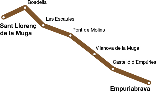
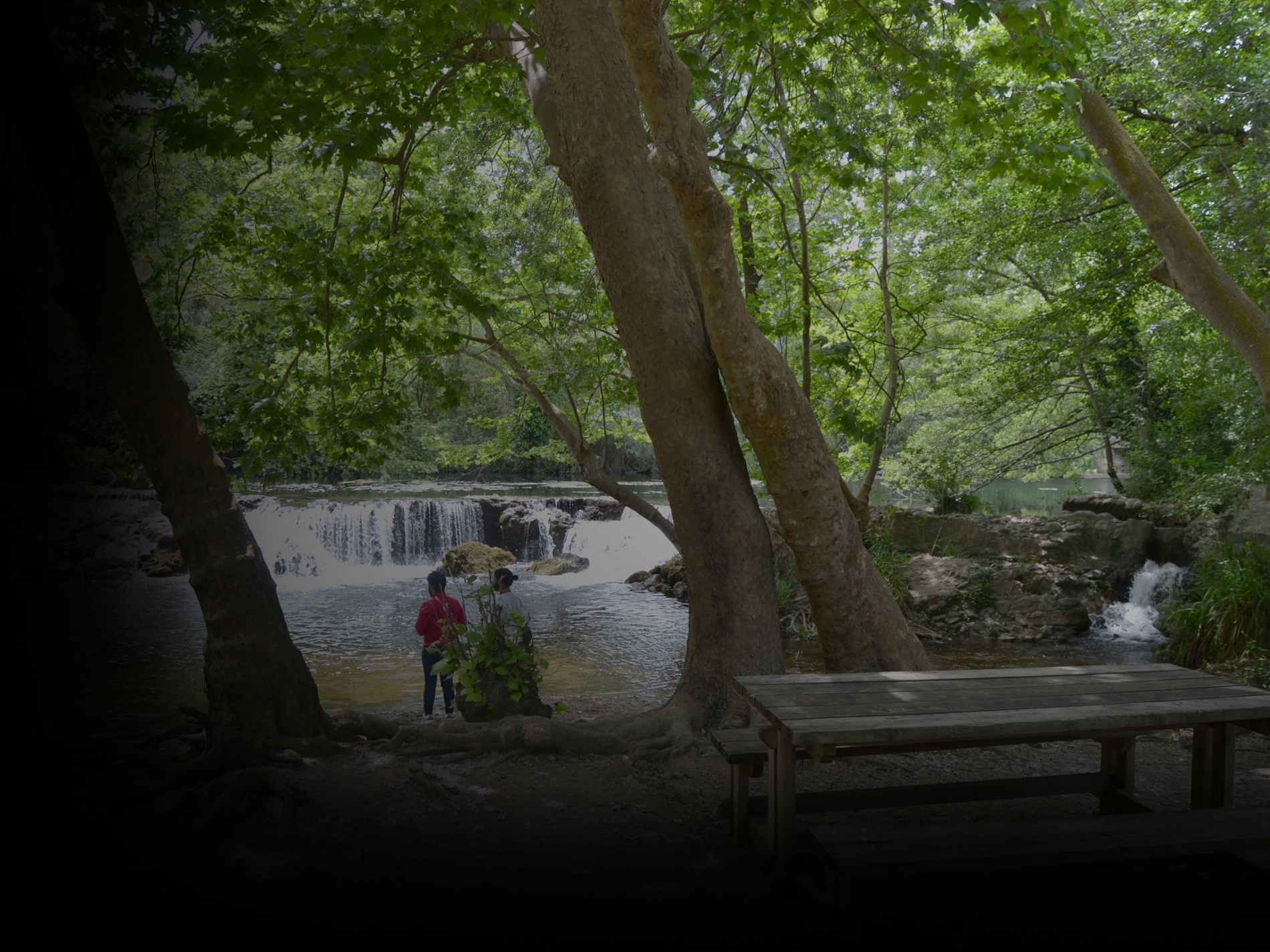
La Muga nature trail
40 KM
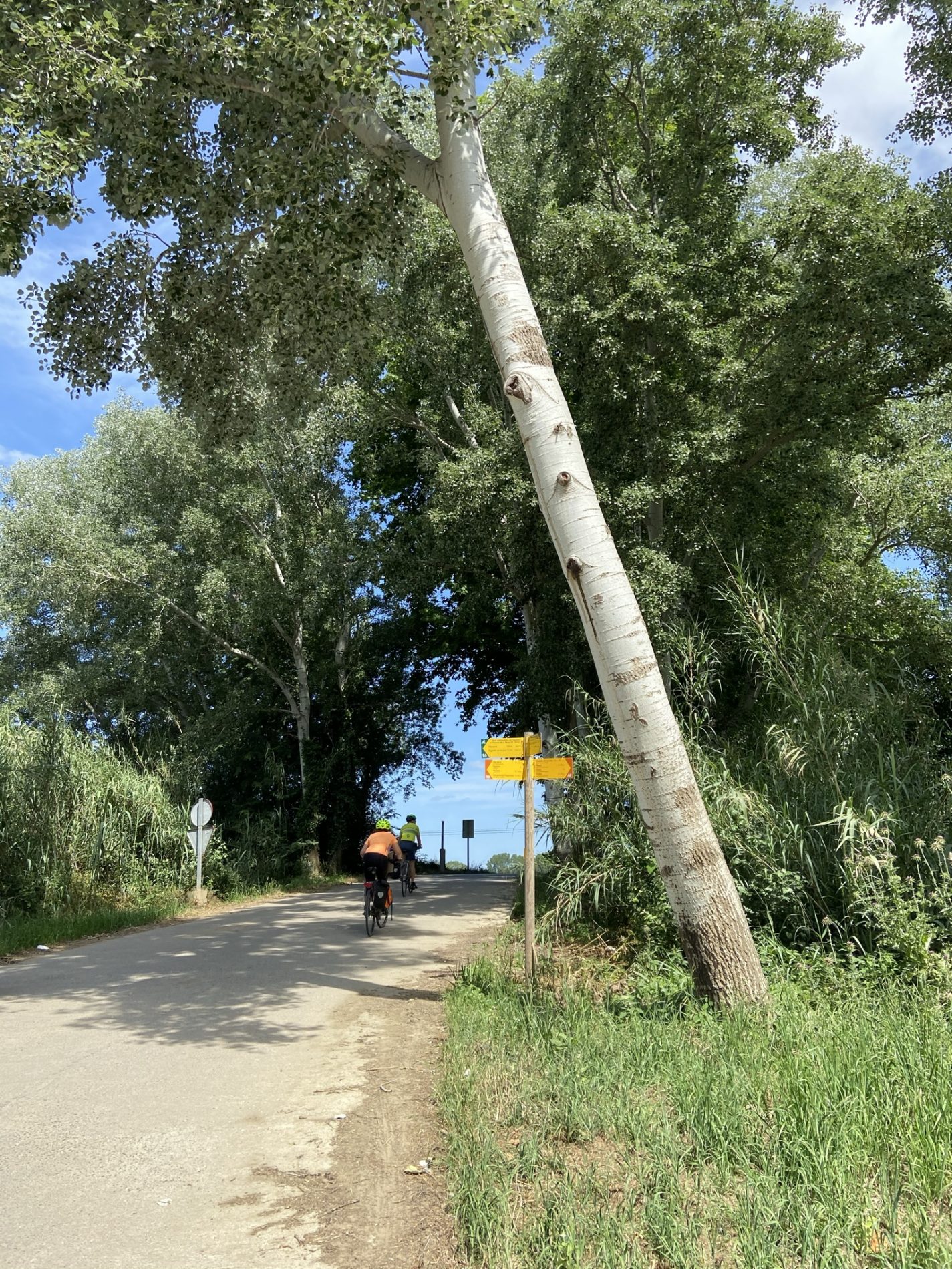
The La Muga nature trail was opened in 2012 under the management of the Consell Comarcal de l’Alt Empordà (Alt Empordà County Council). It has now been repaired and has been incorporated into the routes managed by the Girona Greenways Consortium.
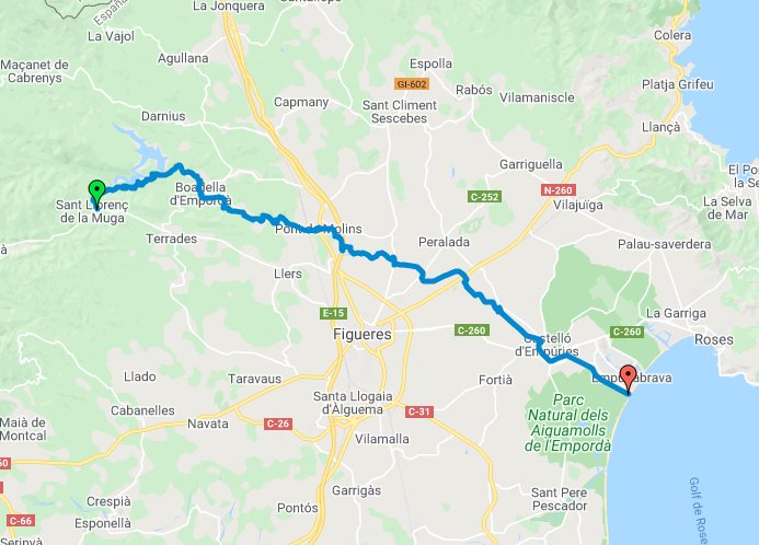
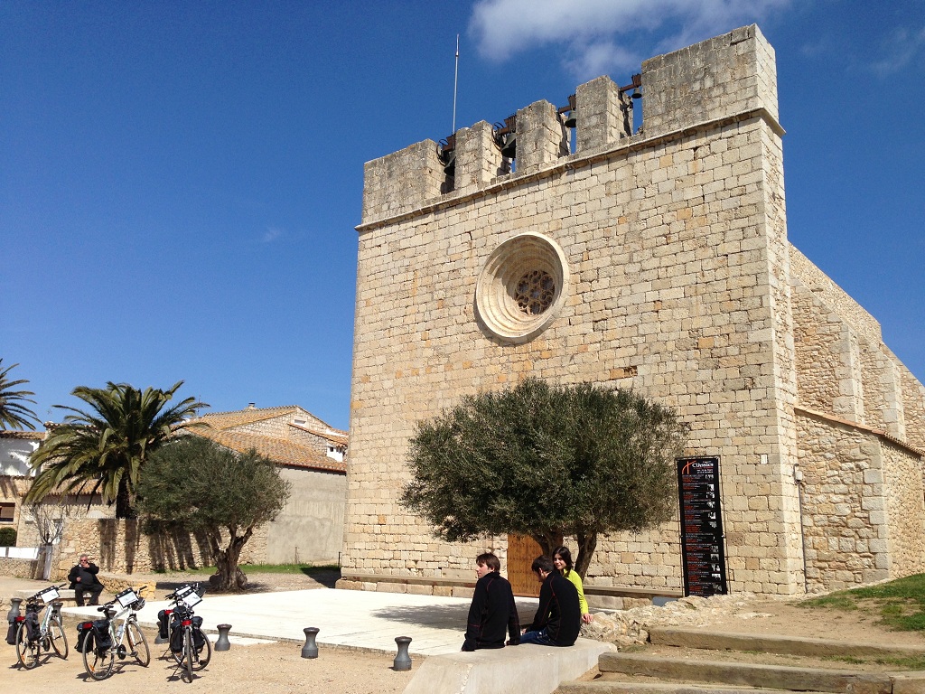
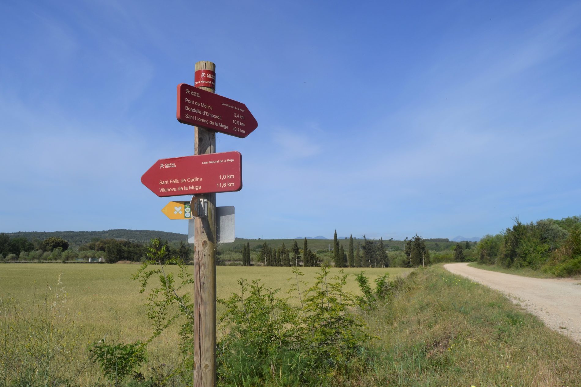
It runs through the towns of Castelló d’Empúries, Peralada, Cabanes, Pont de Molins, Boadella d’Empordà i les Escaules, Terrades, Darnius and Sant Llorenç de la Muga.
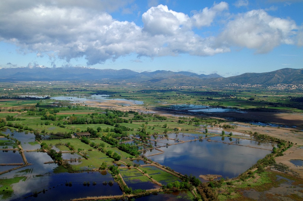
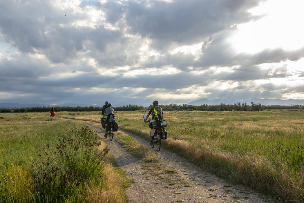
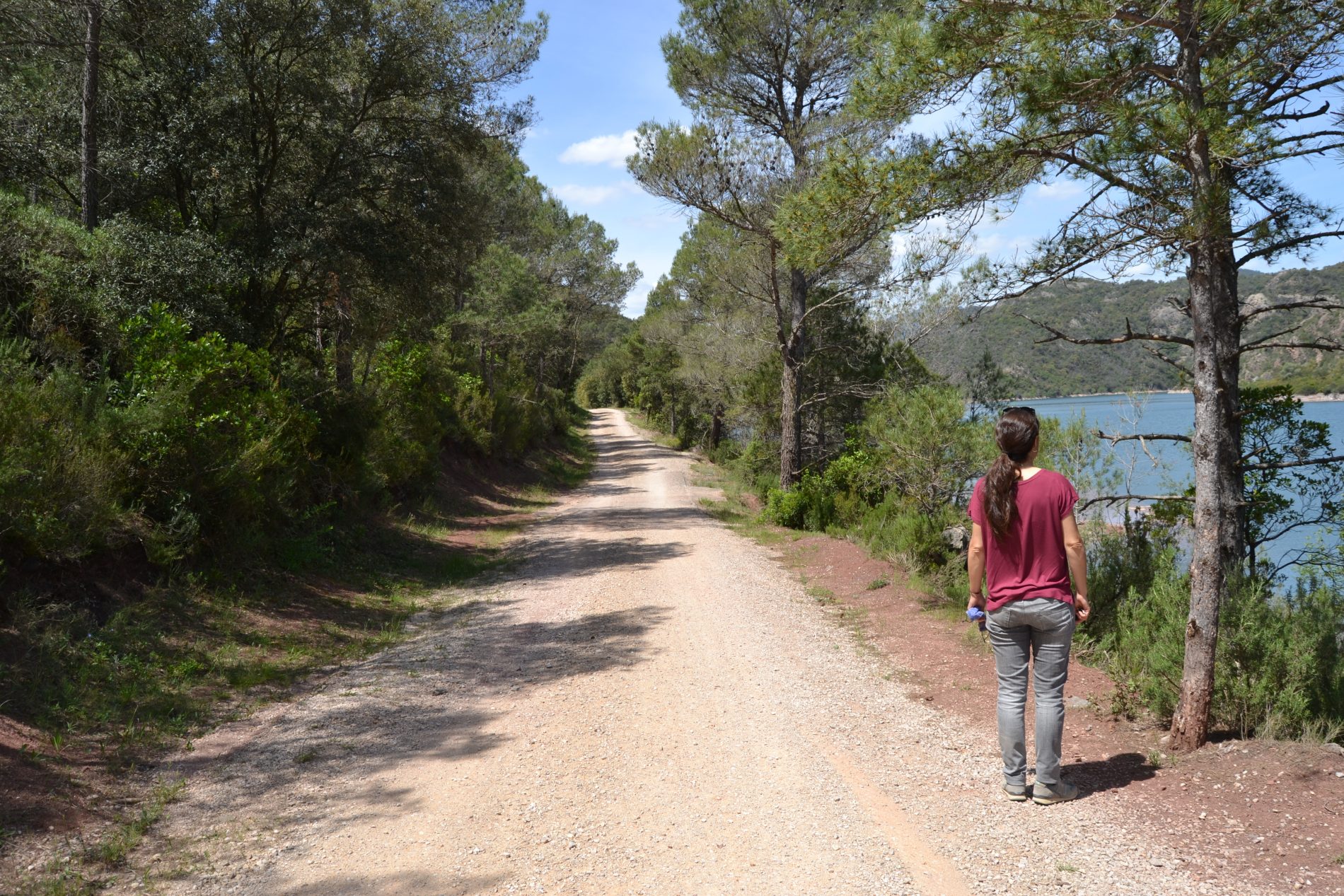
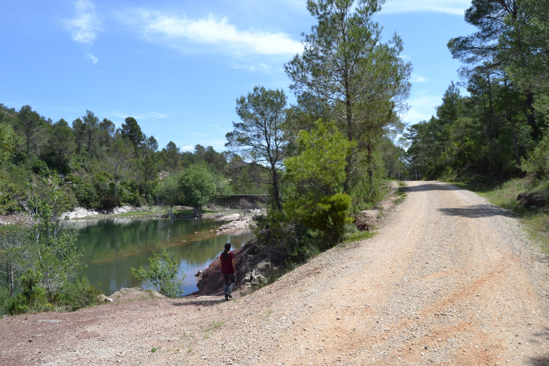
The route is divided into two main distinct sections with different characteristics: a section of greenway and a section of mountain link.
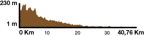
Kilometers 40 km
Difficulty Average
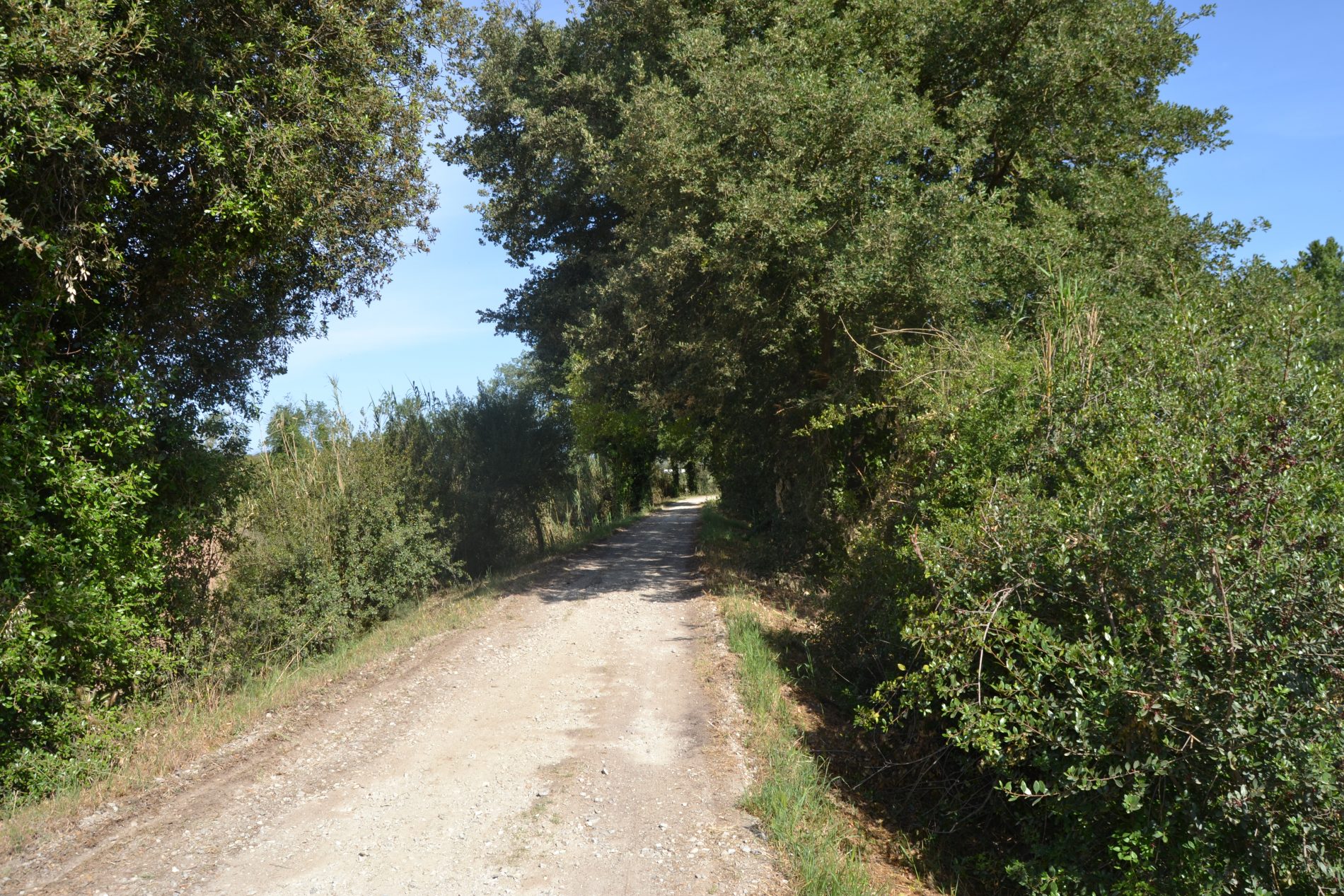
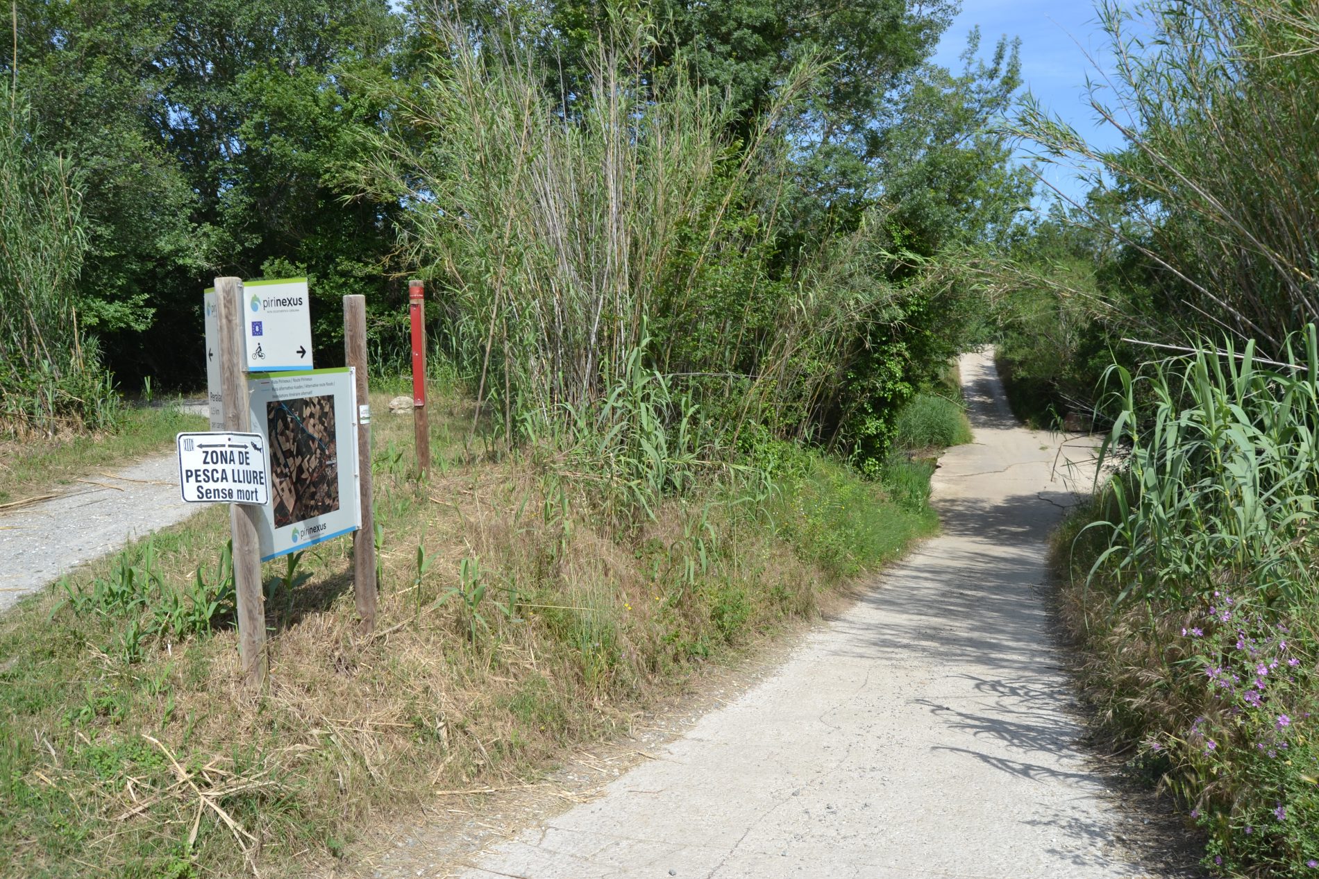
Pavement all-weather pavement, concrete and asphalt.
Maximum altitude 230 m
Minimum altitude 1 m
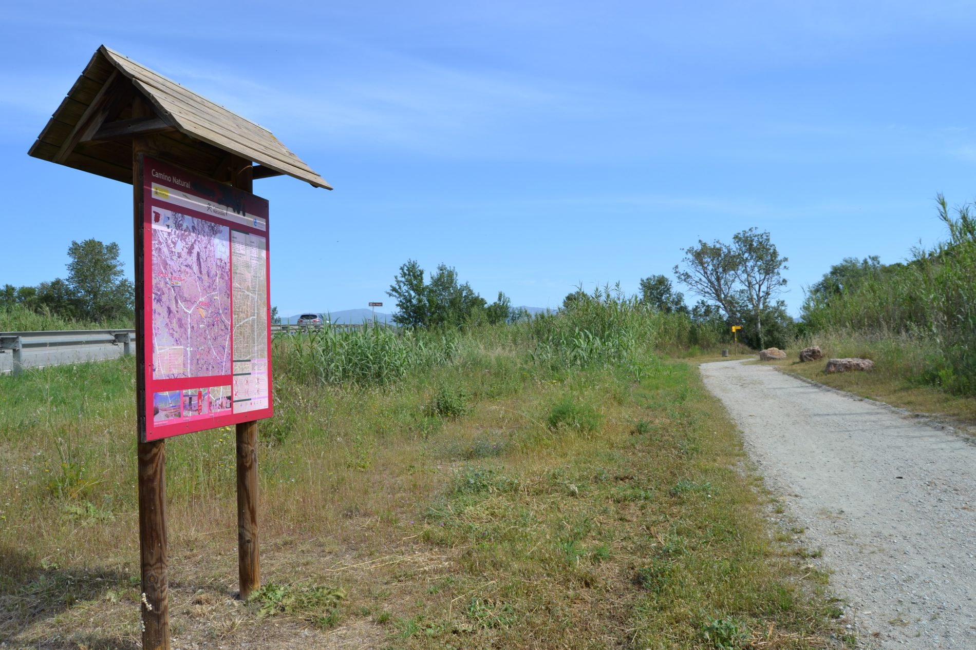
This route is part of the Spanish network of nature trails and is included in the Nature Trails Programme (Programa de Caminos Naturales), implemented in 1993 by the Spanish Ministry of Agriculture, Fisheries and Food. Info on the Nature Trails Programme