Ferro i Carbó greenway
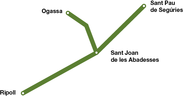
Ripoll - Oagassa / St. Pau de Segúries
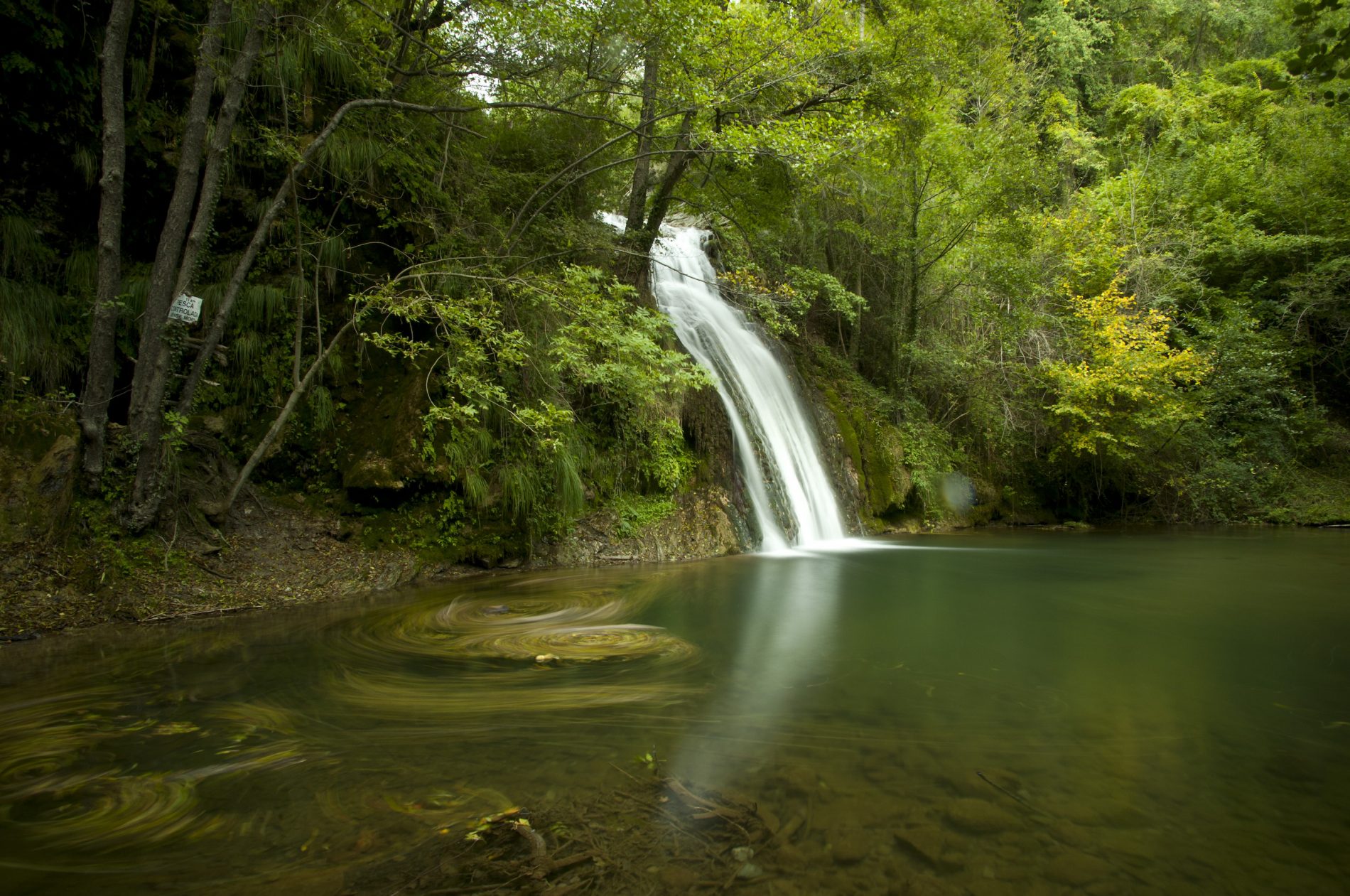
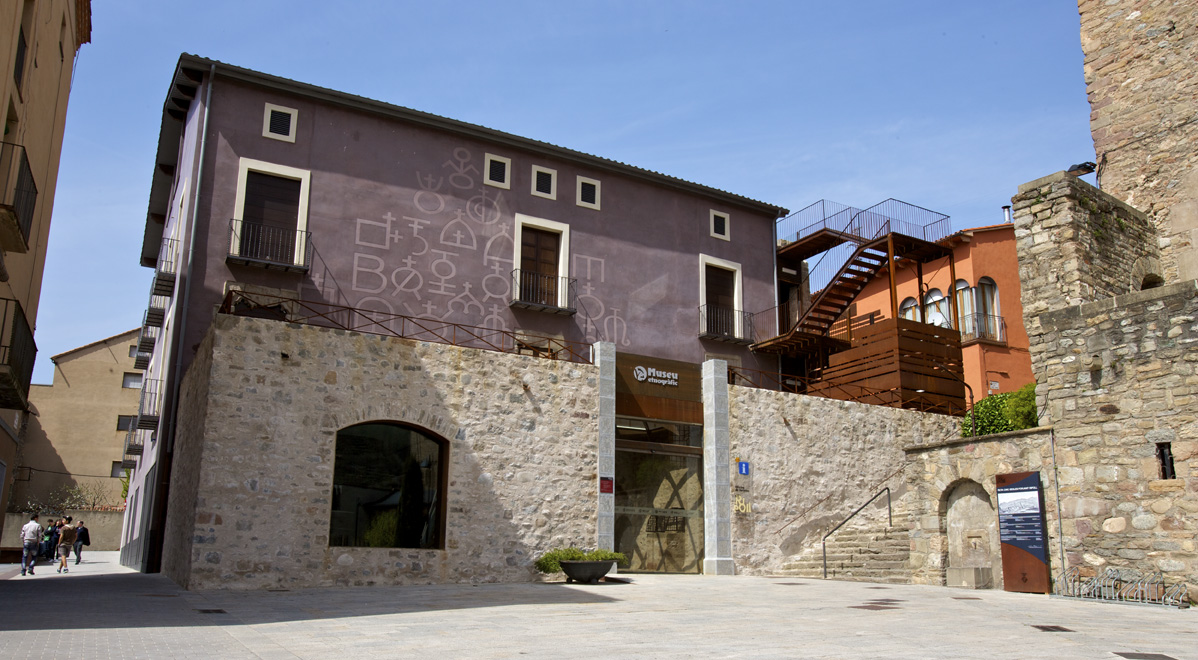
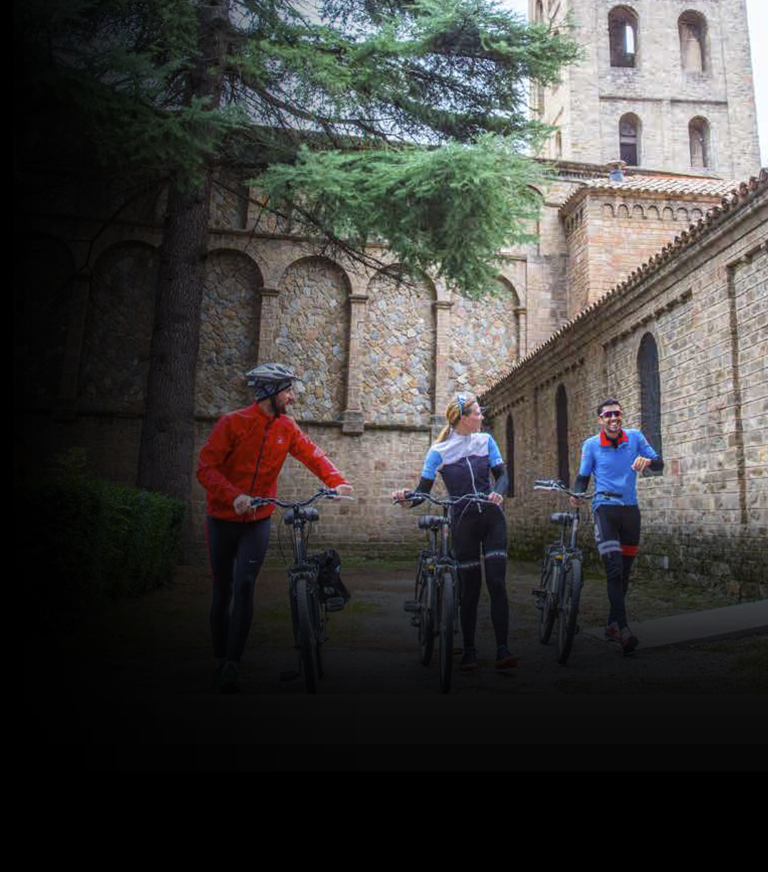
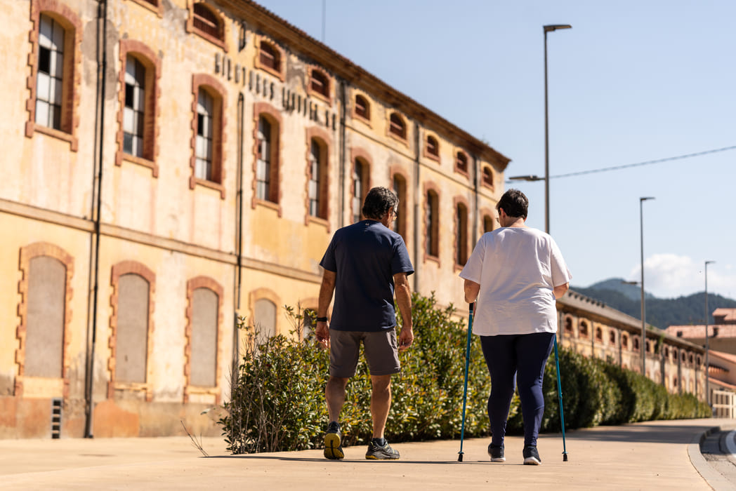
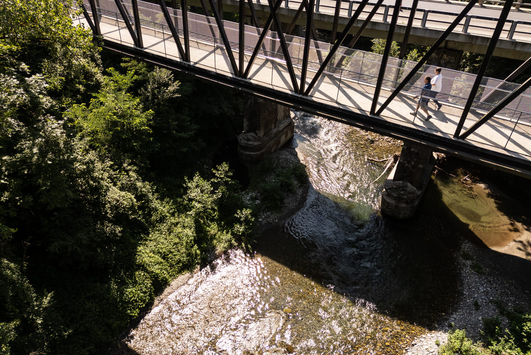
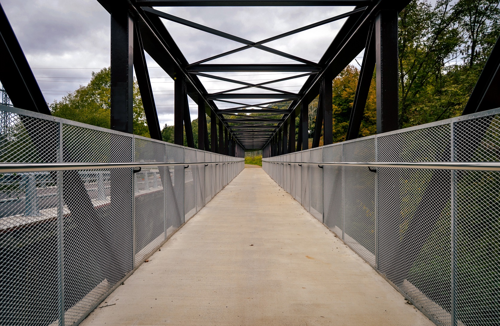
Ferro i Carbó greenway (Iron and Coal Route), in reference to the important ironworking tradition of the Baix Ripollès region and the mining of coal at Ogassa, follows the route that was once plied by the train. The initial 12 km of track (and the current 18 km) have been transformed into an ideal trail for enjoying a long walk or bicycle ride, and for reminding us of the industrial past that is an important part of our heritage. The section of railway going from Sant Joan de les Abadesses to Toralles remained in use until the mines closed down in 1967. The Sant Joan de les Abadesses – Ripoll section remained active until 1980, the year of its centennial anniversary.
In 2022, the route was extended to continue the greenway to Sant Pau de Segúries.
Information Programa Caminos Naturales: https://www.mapa.gob.es/en/desarrollo-rural/temas/caminos-naturales/caminos-naturales/sector-noreste/ferro/default.aspx
We have recently recovered the greenway that leads to Ogassa, allowing us to learn about the area’s mining history.
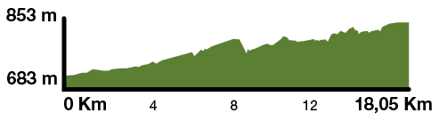
Kilometers 18 km
Accessible route
Slope 1% (3% to Ogassa)
Difficulty Minimum
Pavement Asphalt agglomerate
Maximum altitude 777 m (St. Joan Abadesses) / 950 m (Ogassa)
Minimum altitude 682 m (Ripoll)
Services Wc (in stations) / Picnic area / Sant Joan de les Abadesses All-Terrain Cycling Centre
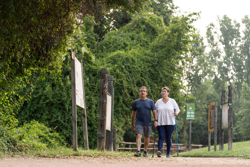
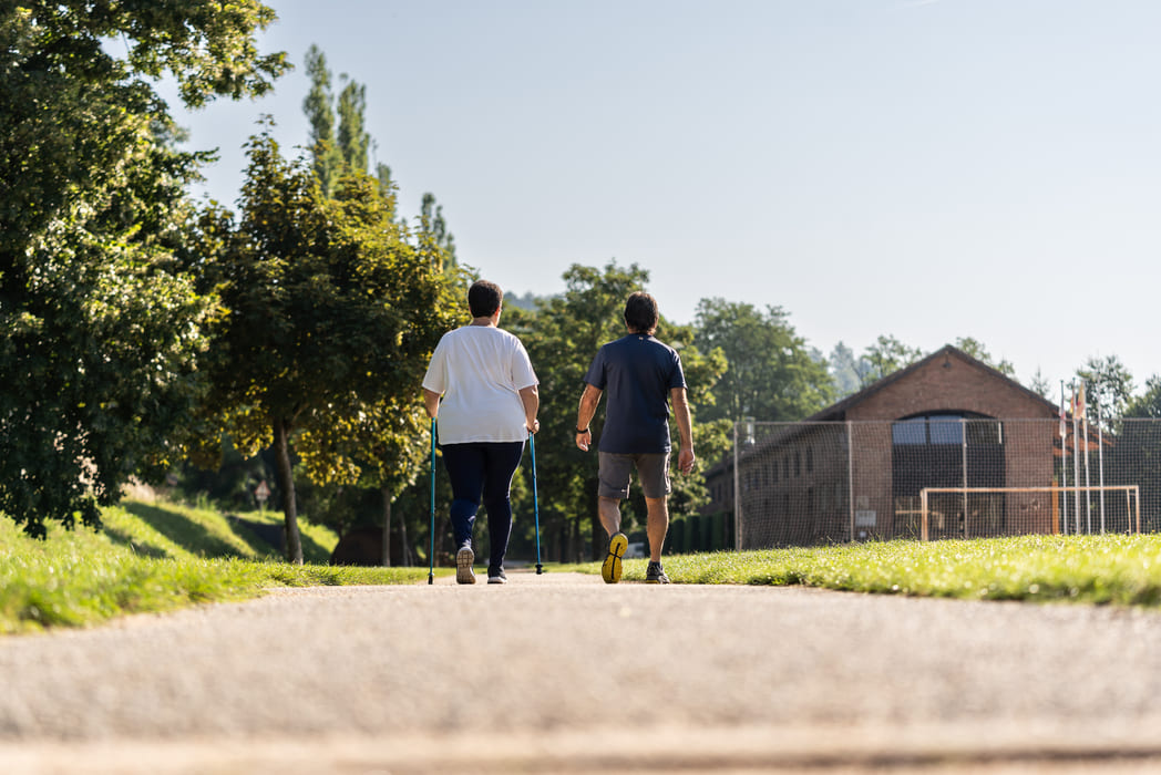
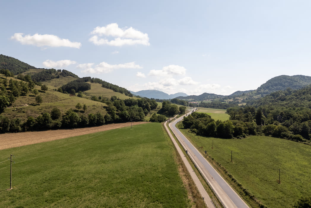
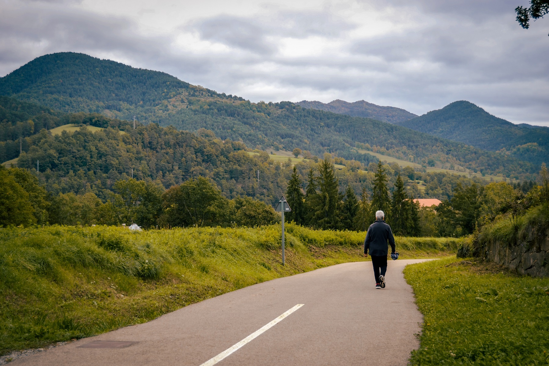
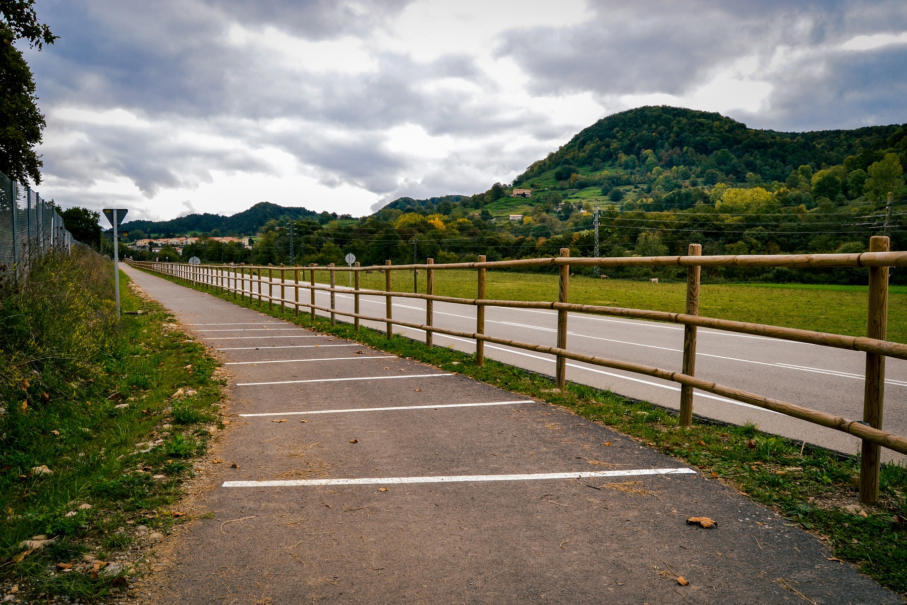
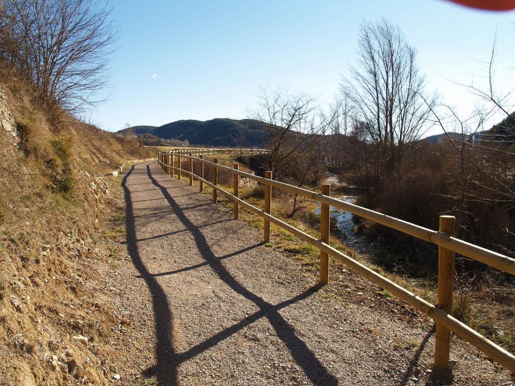
The route links Ripoll, at an elevation of 682 metres above sea level, with Sant Joan de les Abadesses (775 m). The entire route is paved and flanked by vegetation. The total vertical rise is 160 metres, and there is a gentle 1% incline.
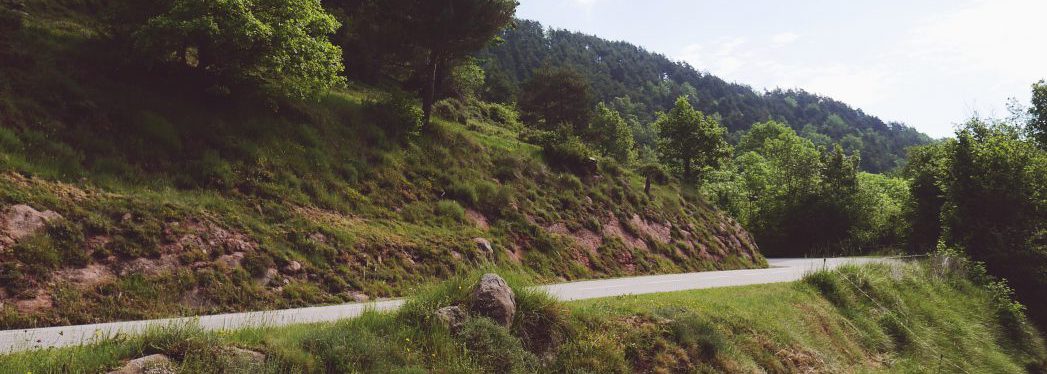
This section of the track starts at km 9, right in front of the old train station at Sant Joan de les Abadesses. Some 300 metres past the station, the track crosses the road to Ogassa and begins to rise gradually along the valley of the Malatosca, a tributary of the Ter River that rises from the Cavallera range. You are alerted at each road crossing by cobblestones along the trail and proper signposting throughout the whole itinerary. The track crosses a long-distance (GR) hiking trail some 500 metres from the station, and then crosses the highway again just beyond the GR trail. The route is placid and runs without problem to a point some 2 km before Sant Joan, at the Toralles loading station, where the coal from the mining railway of Ogassa was received: Track Ripoll – Ogassa [GPX]
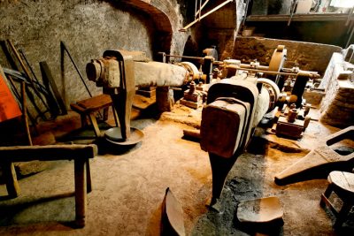
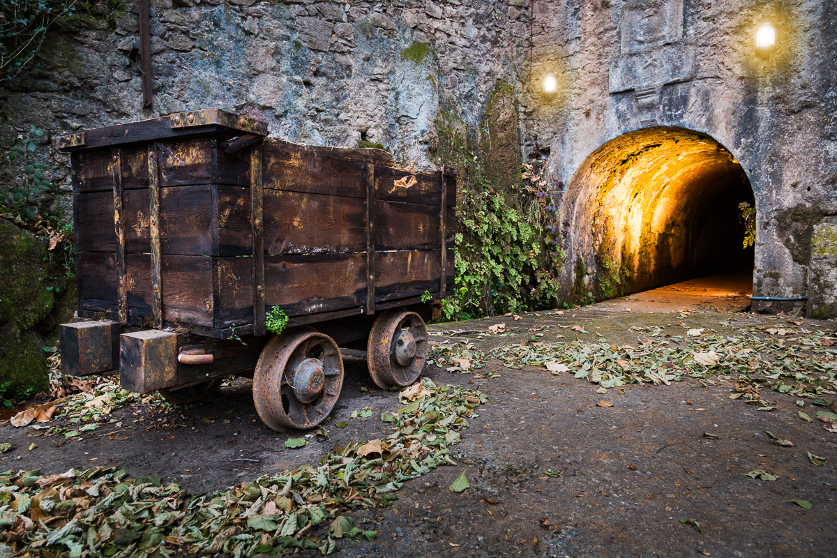
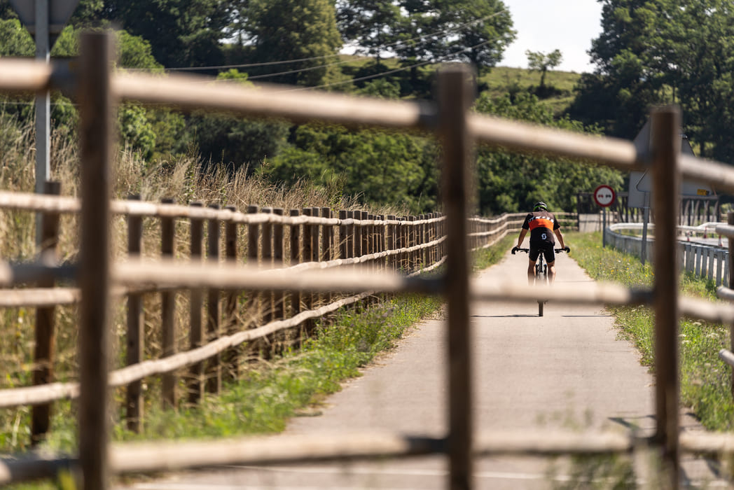
From Toralles, we can head to Ogassa, at 950 metres, along a greenway that winds its way up with mountain views, where the inclined planes system was once installed. This system allowed the wagons loaded with coal from the Ogassa mines to descend to the loading area, while the empty wagons were pulled back up. In Ogassa, we can visit many sites linked to the town’s mining past.
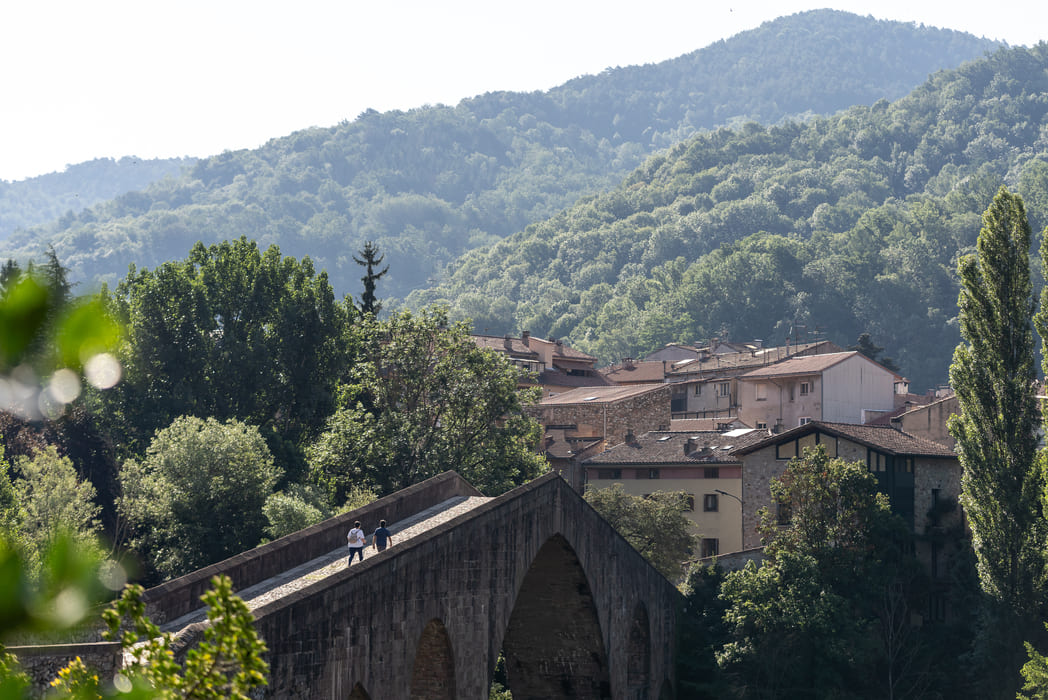
The linking section of greenway with Olot begins at the Sant Joan de les Abadesses train station: Link from Sant Joan de les Abadesses to Olot.

Accessibility
Ideal route FOR BEGINNERS
From Ripoll to Sant Joan de les Abadesses, gentle slopes. Even easier on the way back!
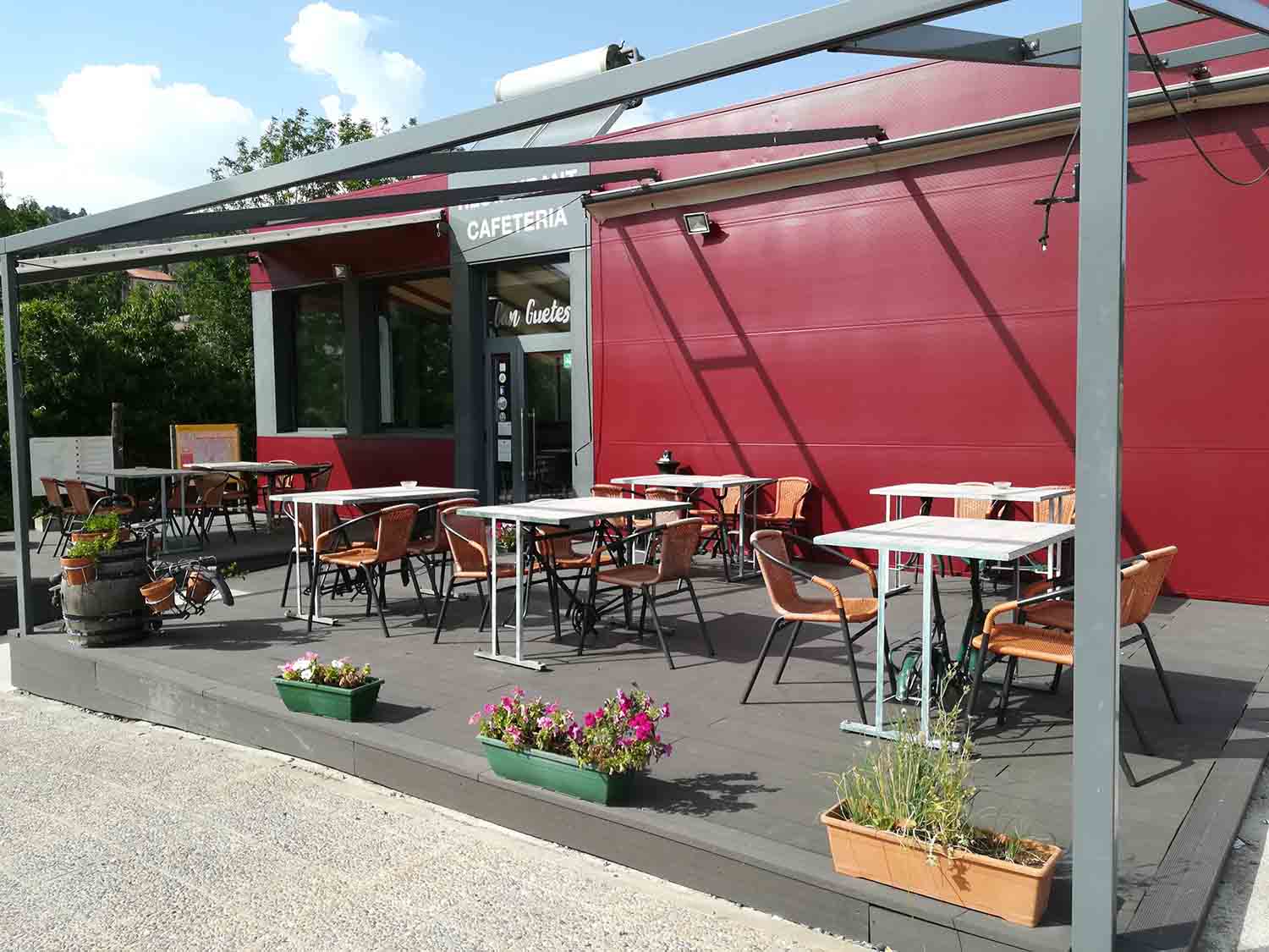
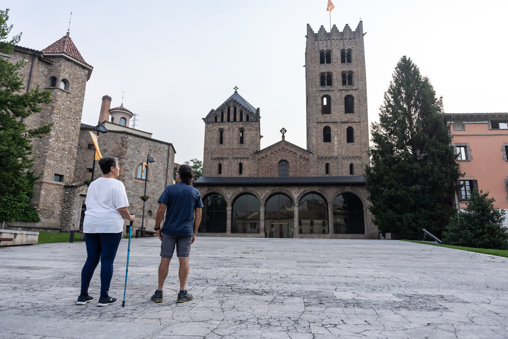
Starts out from the Can Guetes car park (on the road out of Ripoll) and finishes at Plaça de l’Estació in Sant Joan, with an ample recreational area, fountain, the Iron Route Hostel, and the Iron Route restaurant. + Toralles (2 km). Half the route is paved and the rest is made up of well-compacted earth.
Adapted rooms and WC: http://www.viesverdes.cat/en/lloguers/alberg-rural-ruta-del-ferro/