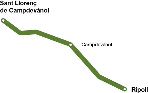
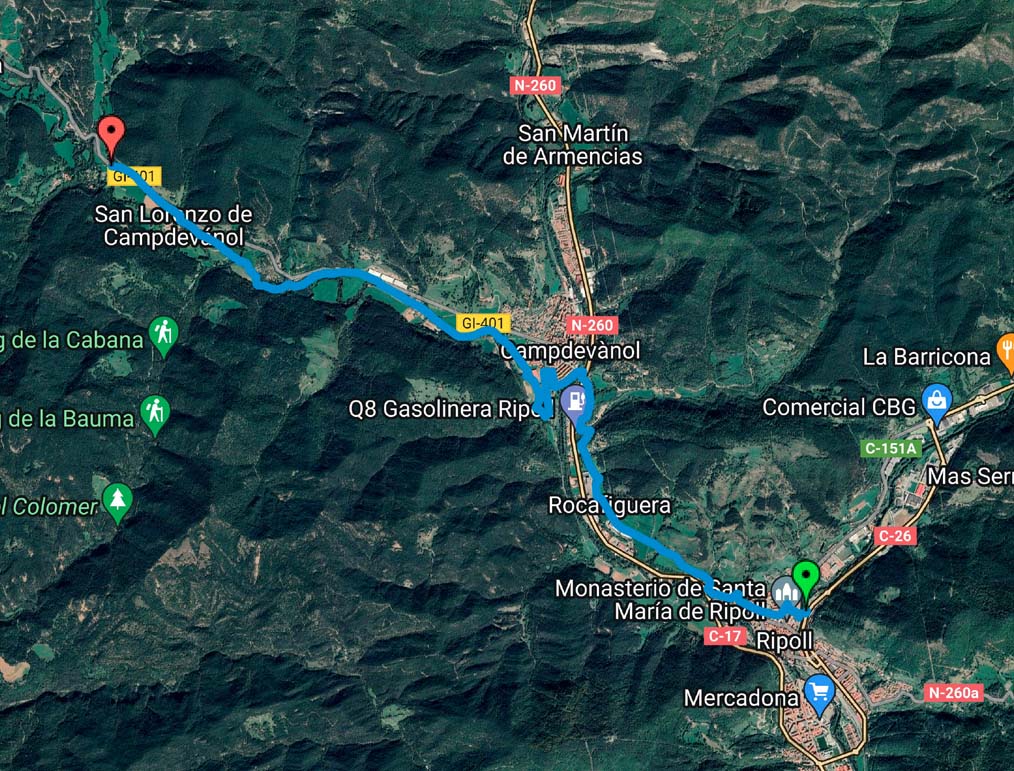
Camí Ramader de Campdevànol
Sant Llorenç de Campdevànol - Ripoll
(Historic Highway and Cattle Track)
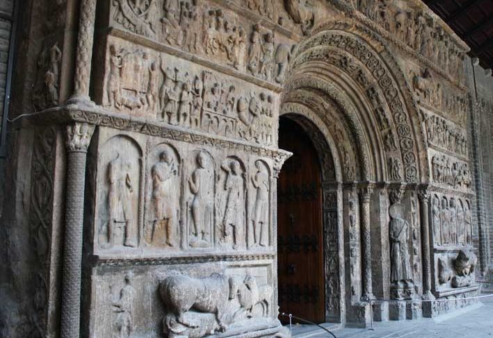
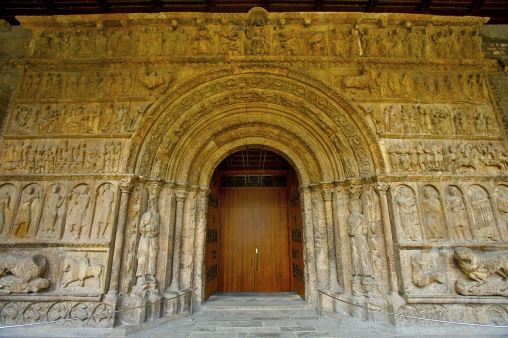
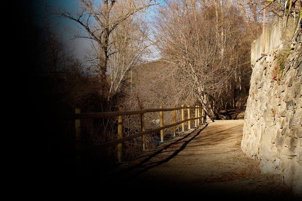
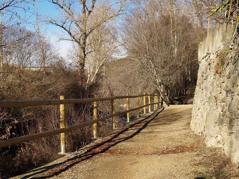
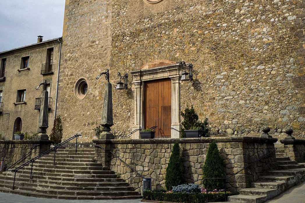
The itinerary we suggest goes along the route of the old royal roads that connected the towns of Campdevànol and Ripoll, on both sides of the Freser River. Ripoll has always been an important crossroads. Part of the royal and cattle road that connected Ripoll with La Pobla de Lillet (Berguedà county) has been recovered and it now connects Ripoll with the Iron and Coal route, as well as Campdevànol with the cattle road to Sant Llorenç de Campdevànol, which allows us to enjoy nature either on walking or cycling and brings us to the popular Sant Eudald spring, the Querol spring (a leisure area located in a place of great beauty and natural wealth) and the Romanesque church of Sant Llorenç de Campdevànol.
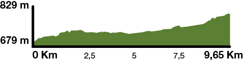
Kilometers 9.5 km
Slope 2,5%
Difficulty Average
Pavement Coarse sand with top layer of aggregate
Maximum altitude 829 m (Sant Llorenç de Campdevànol)
Minimum altitude 679 m (Ripoll)
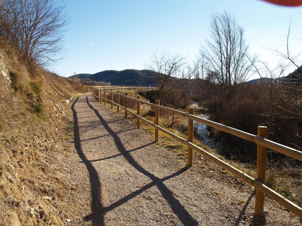
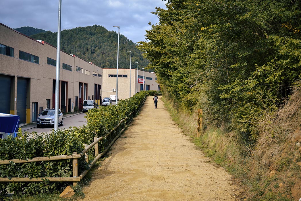
In total, there are about 9.5 km that can be done on walking or cycling, heading to Gombrèn. It is an ideal route for a short break with family.
From Ripoll, you can continue on to Sant Pau de Segúries along the Iron and Coal route.