Pirinexus route (2 days)
Circular route
Completing the Pirinexus route over two days is a sporting challenge with a daily average of 170 kilometres. It is important to bear in mind that you need to be in good physical shape and plan well in order to enjoy all that this route has to offer.
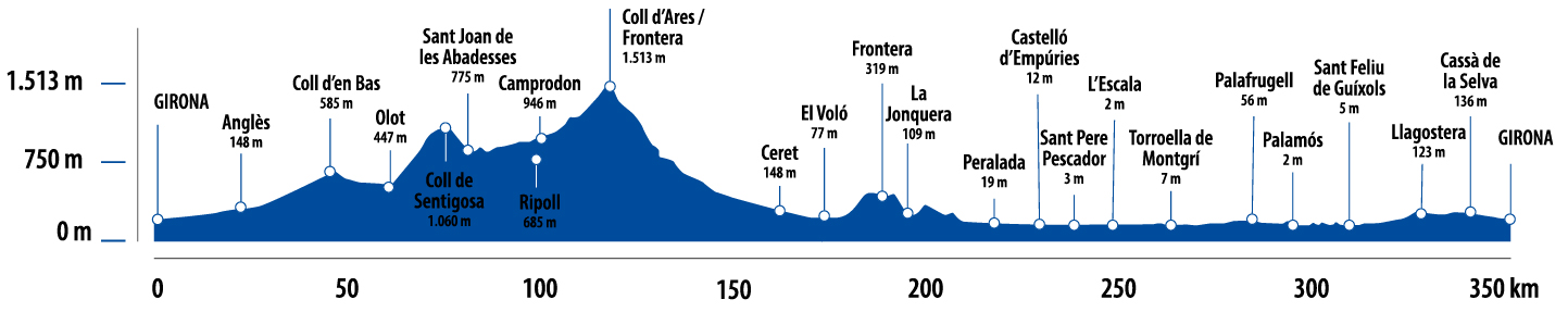
Kilometers 340 km
Difficulty Average
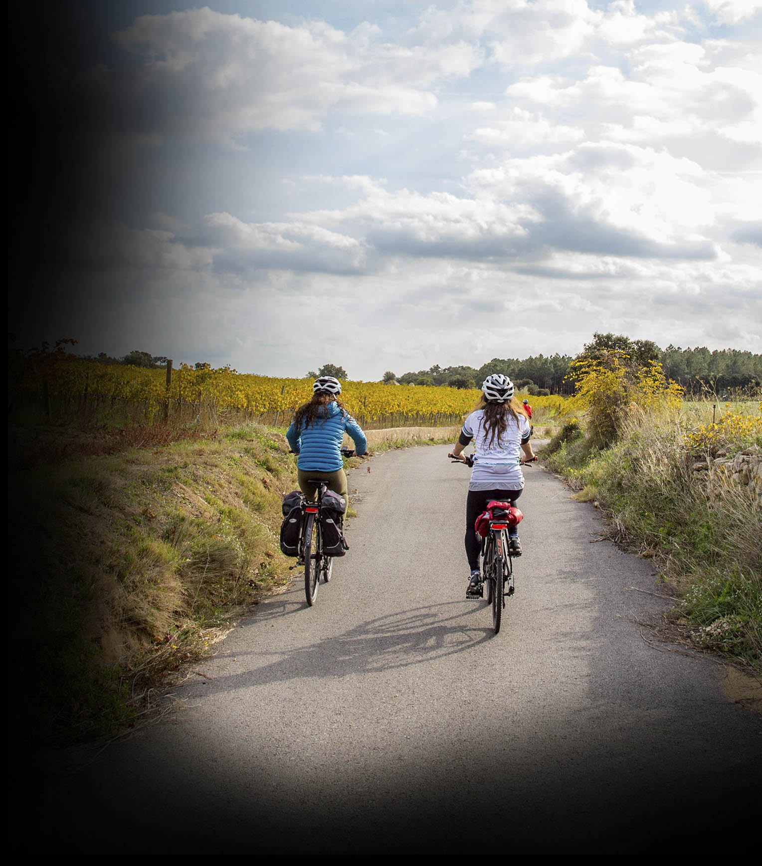
Pavement Asphalt, sand, compacted sand
Maximum altitude 1510 m
Minimum altitude 0 m
Transport Bicicleta
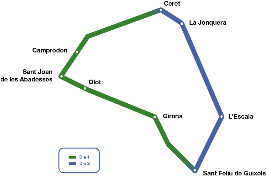
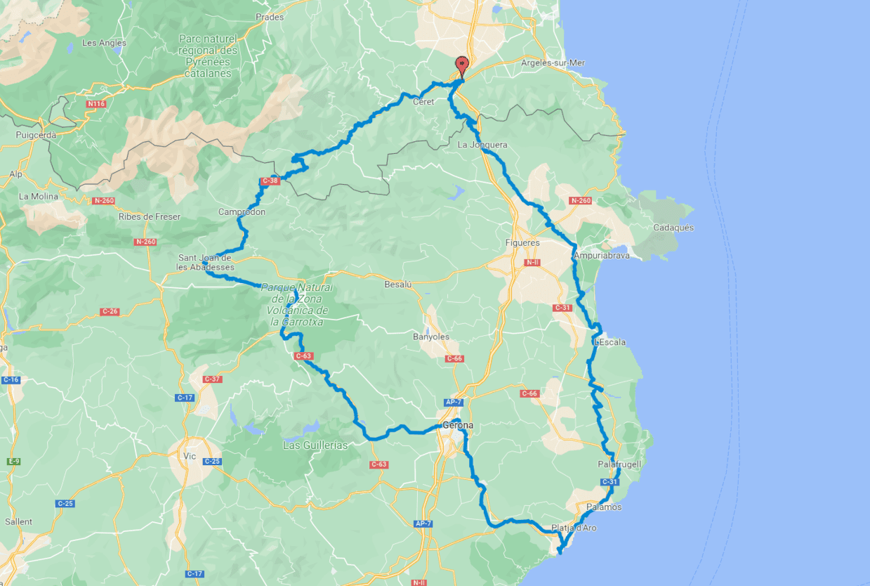
Day 1. From Girona to Le Boulou (168.5 kilometres)
The route starts in Girona, following the Carrilet I Greenway towards Olot. Once you reach Olot, take the N-260, which goes through the Coubet and Santigosa passes up to Sant Joan de les Abadesses. This section of the route is on tarmac, with an average gradient of 4% over 22 kilometres.
In Sant Joan de les Abadesses, the route takes you back on the greenway to Sant Pau de Segúries. Next, cross the main road to take an uphill path that will take you to Camprodon. From this point, the route continues along the road to the highest point, Col d’Ares (1510 metres), which is also a border crossing. Once you enter French territory, the route descends until the end of this first stage in Le Boulou, along roads and cycle paths.
Day 2. From Le Boulou to Girona (171.5 kilometres)
The second stage starts in Le Boulou on paved uphill trails as far as Col de Panissars (361 metres) to cross the border again. It should be noted that during times of high forest risk, the pass may be closed, with a properly signposted alternative route on the French side. From here, the descent towards La Jonquera begins. This is the most technically difficult point of the route. The descent starts on a sandy forest path with a steep slope. It is therefore advisable to ride with caution along this stretch of approximately 6 kilometres. Once you cross La Jonquera, the route continues towards the sea. The rest of the route runs along forest trails to the Costa Brava and along the greenway from Palamós to Girona.