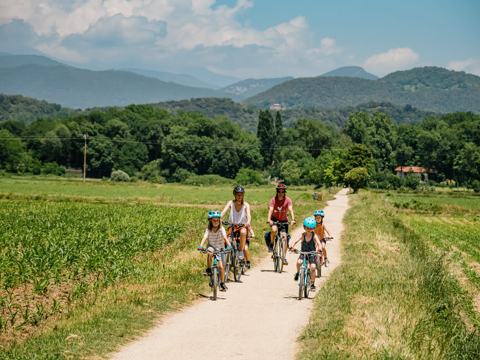
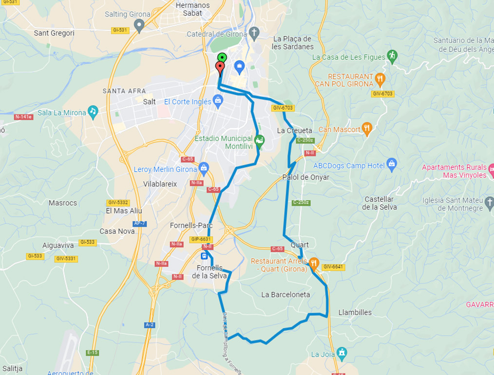
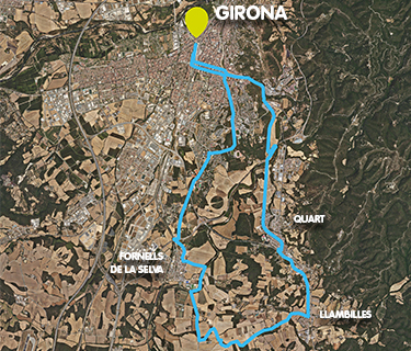
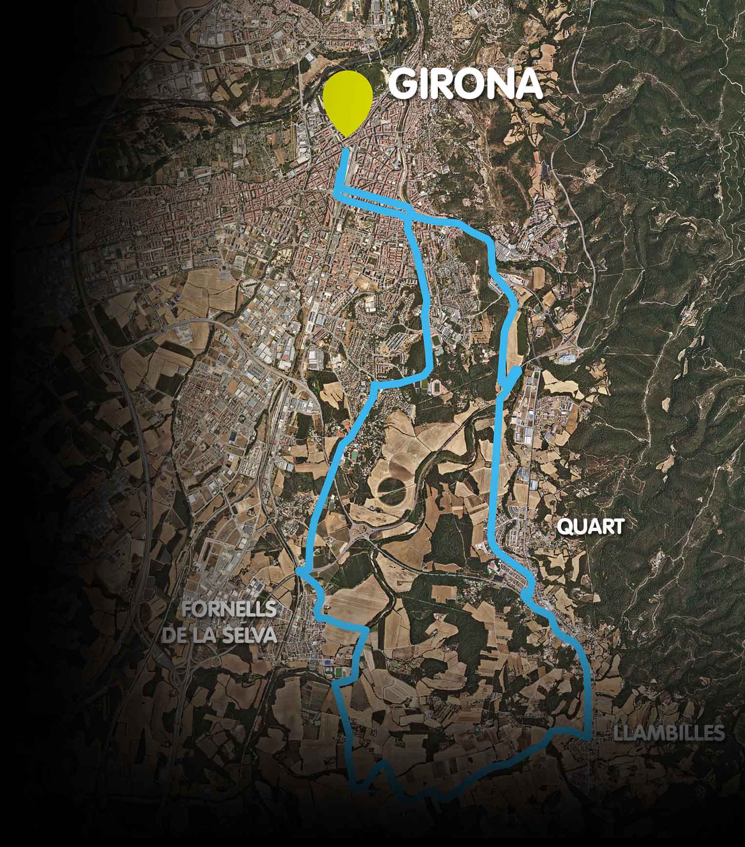
Gironès Sud Circular Route (20 km)

Girona - Quart - Llambilles - Fornells - Girona

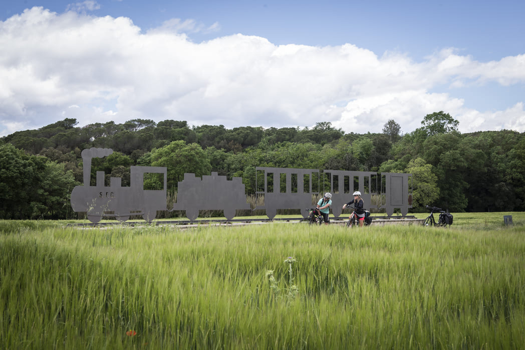
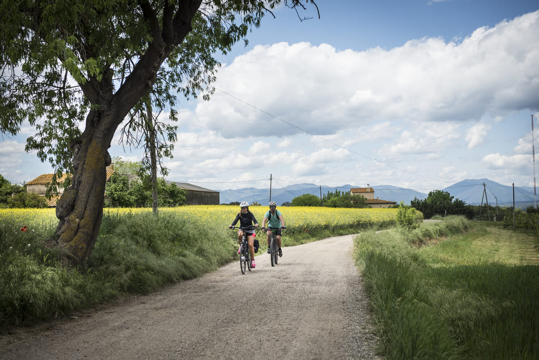
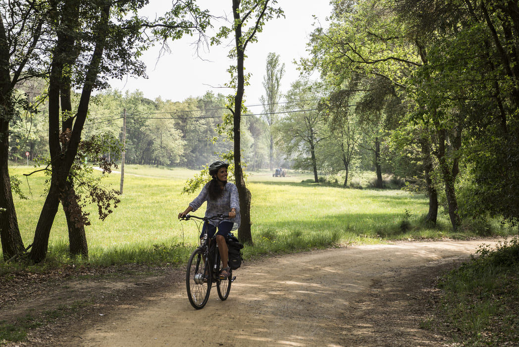
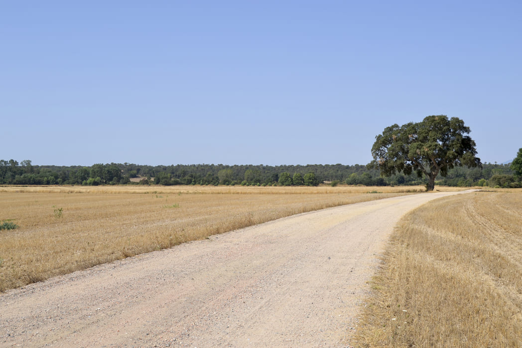
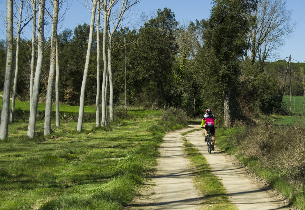
Combining the Carrilet II greenway and the new greenway along the Gironès Sud plain, you can enjoy a 20 km circular route starting from Girona’s Carrilet station, passing through Llambilles and Fornells de la Selva.

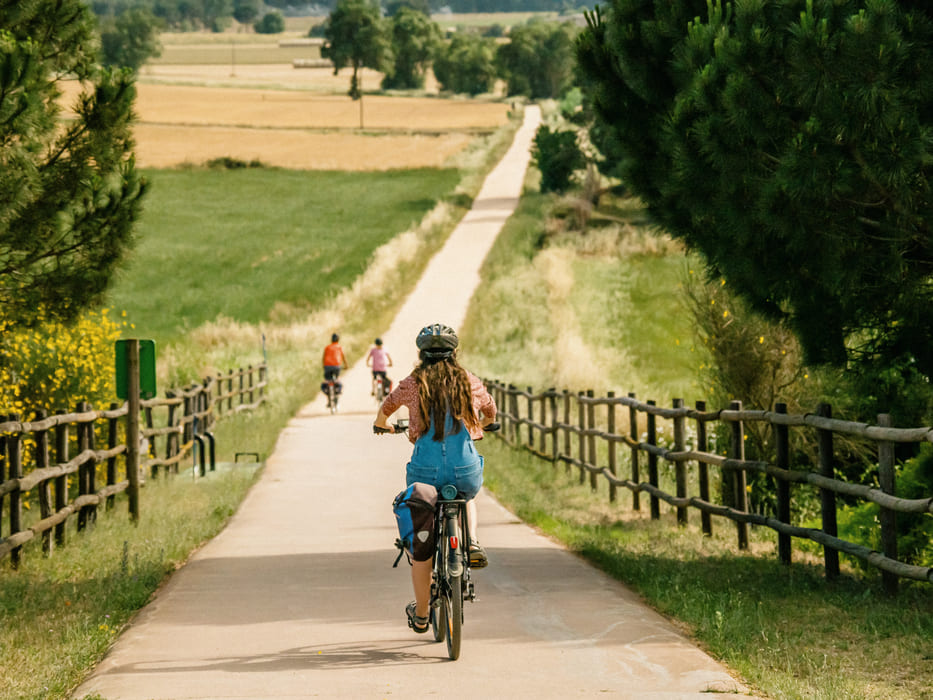
This flat route can be done on foot or by bicycle and connects the city of Girona with its immediate surroundings in the south of the county.

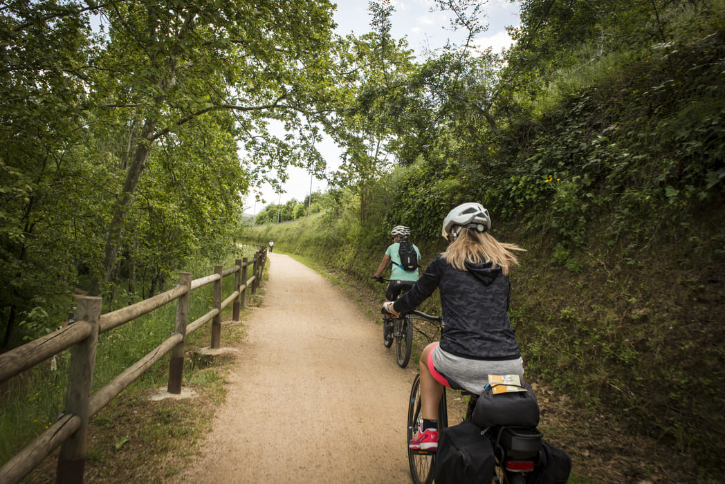
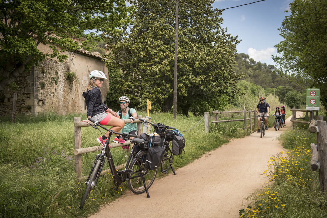
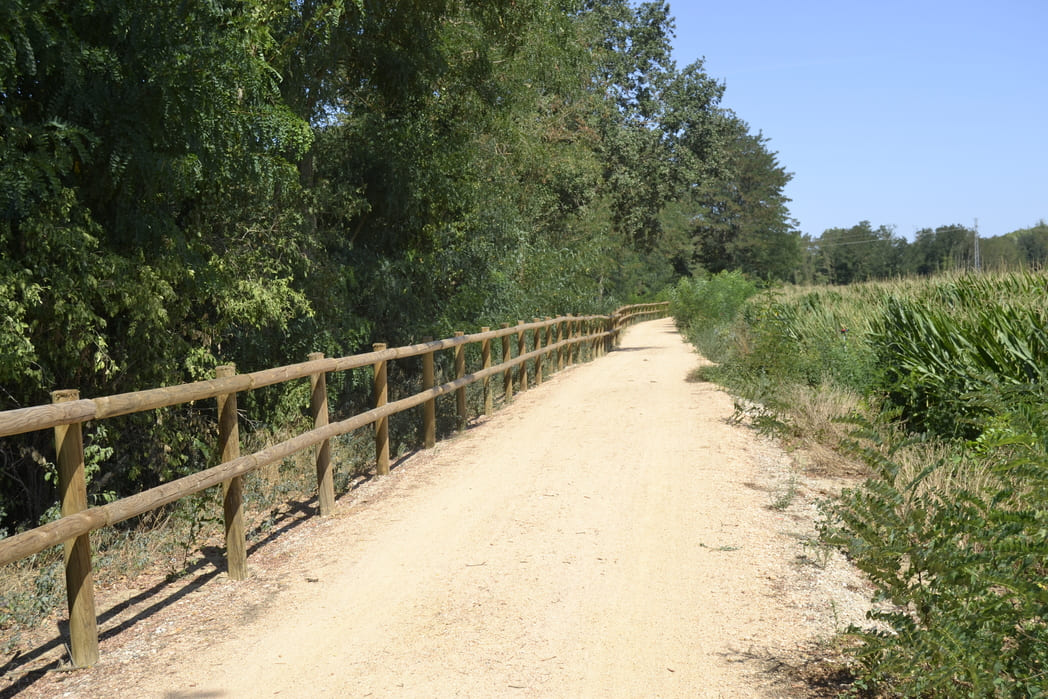
This intercity route combines several types of cycle paths: a greenway shared with pedestrians, a two-way cycle path, a protected cycle lane in an interurban area and a street in a 30 km/h zone.
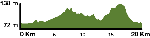
Kilometers 20 km

Slope 3,3 %

Difficulty Average

Pavement Tot-ú, asphalt

Maximum altitude 138 m

Minimum altitude 72 m

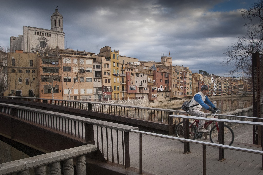
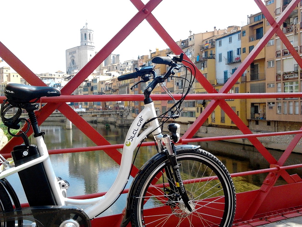
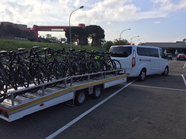
Services Bicycle rental (cycling, Biker Centre, eBici) / Motorhome parking (Girona)

Transport walk or bike

Gironès Sud Circular Route 20 km slope map

How to get there

RENFE

Barcelona Sants-Portbou – L’Hospitalet de Llobregat-Figueres/Portbou (R1, RG1, R11)

Stations: Girona, Fornells de la Selva, Riudellots de la Selva, Caldes de Malavella
Tickets: Tel. 900 41 00 41
https://rodalies.gencat.cat/time/index.html

TEISA

Tel. 972 20 48 68
www.teisa-bus.com

BY ROAD

AP-7 motorway (A-7)
N-II / A-2, GI-673
www.mobilitat.net

GIRONA - COSTA BRAVA AIRPORT

Tourism office: Tel. 972 186708
Flight information: Tel. 972 186 600
Tel. 972 20 48 68
www.aena.es

Gironès Sud Circular Route 20 km map

Access the google maps of the route and view the route, services, points, ...

Access the map

Access to the Instamaps

Access the map

Access the route's wikiloc and view the route, the slope, ...

Access the map

Newsletter

Subscribe to the newsletter and don't miss any news about the Vies Verdes of Girona and Pirinexus

Go there

The Secrets
of Green Roads

From the Pirineus to Costa Brava

DISCOVER THE SECRETS