The secret of la Cellera de Ter
Circular route with two connection points with the greenway
The municipality of Cellera de Ter is located in the county of La Selva and covers an area of 14.63 km2.
More than half of the municipality is mountainous and is part of the eastern edge of the Guilleries massif. The other part is a fertile plain a little more than a kilometre wide that is surrounded by water, bordered by the river Ter and the Osor stream.
The town, 166 meters above sea level, is 19 km from Girona following the greenway to the south, and 30 km from Olot to the north.
The town centre is located in the centre of the valley, at the foot of the Puigdefrou mountain (843 m high) which, with its unmistakable silhouette, is the most representative geographical feature of the town.
The clear morphological differentiation of the municipal area affects the population, located basically in the flat eastern sector, which includes the town of Cellera de Ter, which is the head of the municipality, the neighbourhood of Pasteral and the neighbourhoods of Plademont and Pladevall, which contrast with the mountainous western area, populated by old farmhouses (most of which are now uninhabited) that made up the neighbourhood of Plantadís.
Kilometers 9,2 km (2 h 30 min)
Difficulty Minimum
Pavement Nature route
Services Restaurants / Public toilet: In the U d’Octubre area and in the old Pasteral station. / Accommodation / Shops
Transport walk or bike
Secret type Historical


It is a circular route that runs through places of great natural, heritage and landscape value in the municipality and connects with the greenway at two points: one in the U d’Octubre area (in the village of Cellera de Ter) and the other at the old Pasteral station (in the north of the municipality).
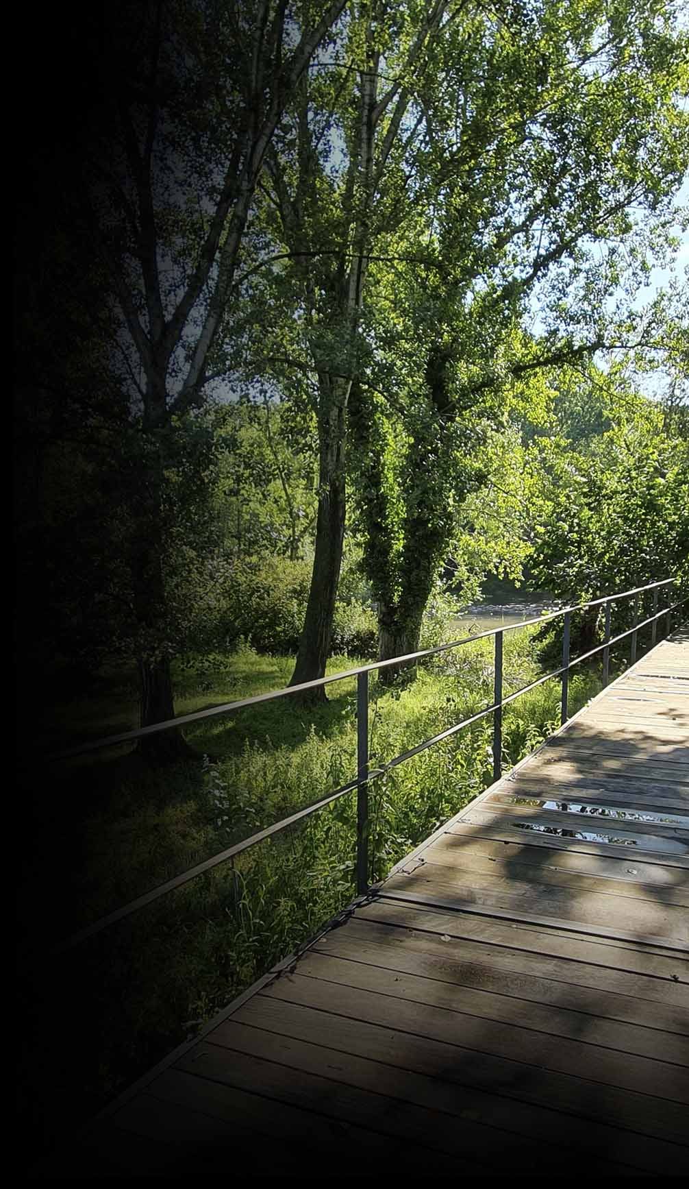
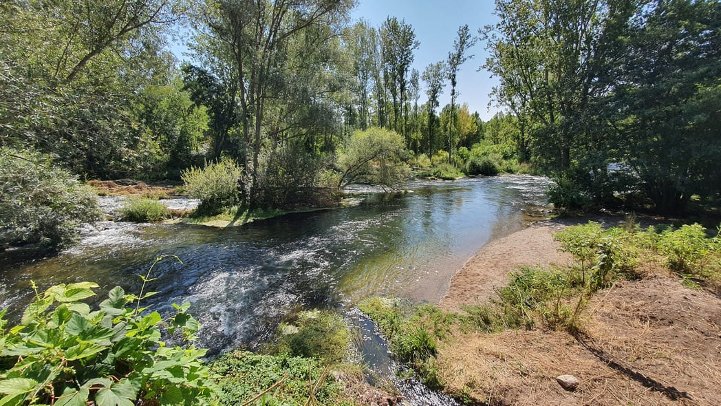
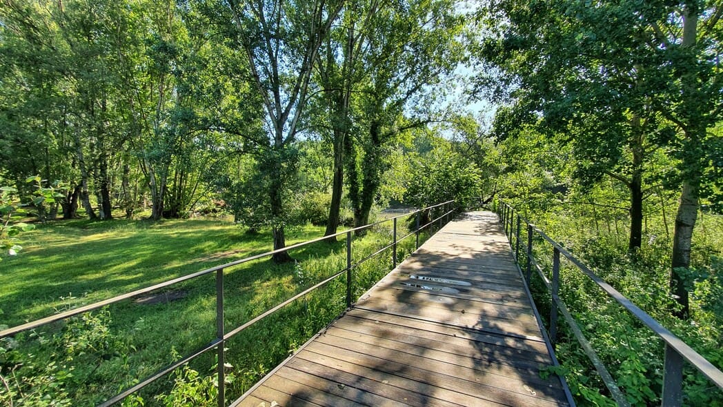
Part of the route follows the banks of the river Ter, a protected natural area included in the Natura 2000 Network, with the riverside forest as a characteristic habitat. The route also includes places of great interest such as the old boat crossing, which until 1986 made it possible to cross the river; the Romanesque chapel of Sant Just and Sant Pastor; the woods of Can Lloret; the old schools of Mestre Cicres in Pasteral; the natural and archaeological area of the caves of Pasteral and the mountain of Canet; the Ribot bridge, the Can Pla spring, and the old Pardina mill.
Points of interest
Banks of the river Ter: a protected area included in the Natura 2000 Network, where numerous native species of riverside woodland can be found, as well as a large number of species of birds, bats, amphibians, fish, invertebrates and small mammals.
Breakwaters: Built in the 1940s to protect against the flooding of the river Ter, they have now been recovered and converted into a bird-watching spot.
Old boat crossing: A place where a boat used to cross the river from one side to the other, connecting the town of Cellera de Ter with Sant Julià de Llor i Bonmatí.
Romanesque hermitage of Sant Just and Sant Pastor: Probably a 12th-century construction, formerly related to the monastery of Amer and partially rebuilt after the major earthquakes that devastated the valley in 1427.
Old schools of Mestre Cicres: Inaugurated in 1932 during the Second Republic, today the building has been restored.
Caves of Pasteral: Catalogued as a Cultural Asset of Local Interest and with some 400 metres of known route, they are considered the most important caves in the region and the most significant in the Guilleries massif. This area is of great archaeological, geological and natural interest.
Ribot bridge: A bridge built at the end of the 20th century to give continuity to the Pixarrelles path, cut off by the arrival of the railway line from Girona to Olot.
Can Pla spring: A quiet, bucolic spot at the foot of the greenway that invites you to stop for a rest and a sip of water.
Pardina mill: An old flour mill, one of the most important in the counties of Girona, in operation from the mid-18th century until the 1970s.