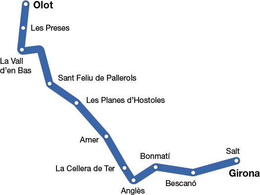
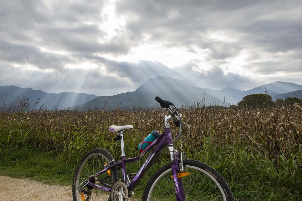
Carrilet I Route
Girona - Olot
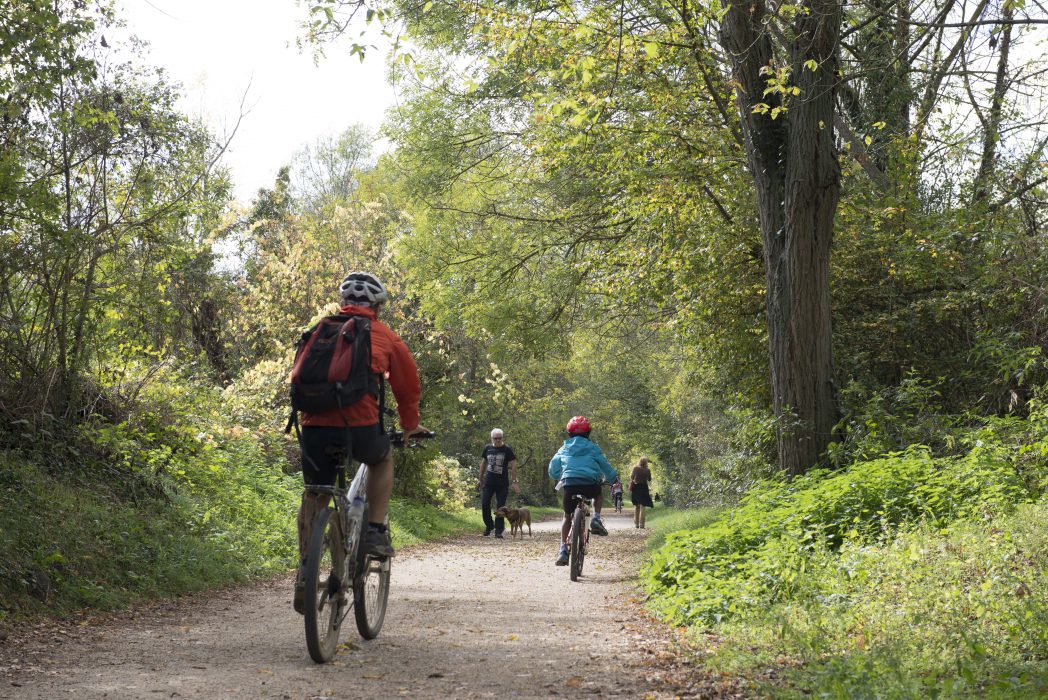
The Carrilet I Route crosses three comarcas and twelve towns, as well as beauty spots of great interest for their landscapes, ecology and culture, along a 54 km route of compact granite. The road that used to link La Garrotxa and Gironès now allows us to discover the natural resources of the Volcanic Zone of La Garrotxa, as well as the urban centres of Anglès and other towns, which are full of history.
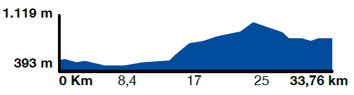
Kilometers 54 km
Slope 1,5%
Difficulty Average
Pavement Packed granite sand
Maximum altitude 620 m (Coll d'en Bas)
Minimum altitude 70 m (Girona)
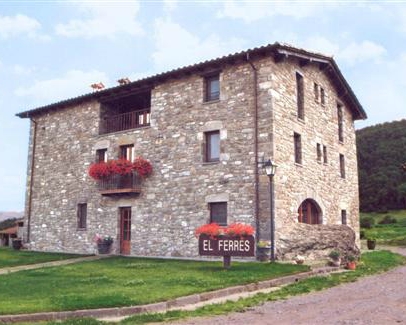
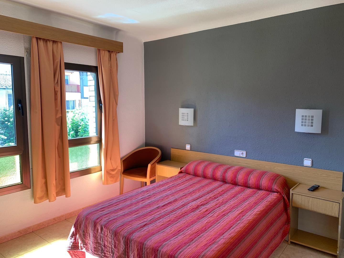
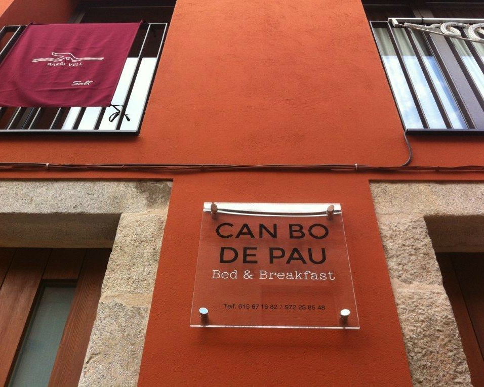
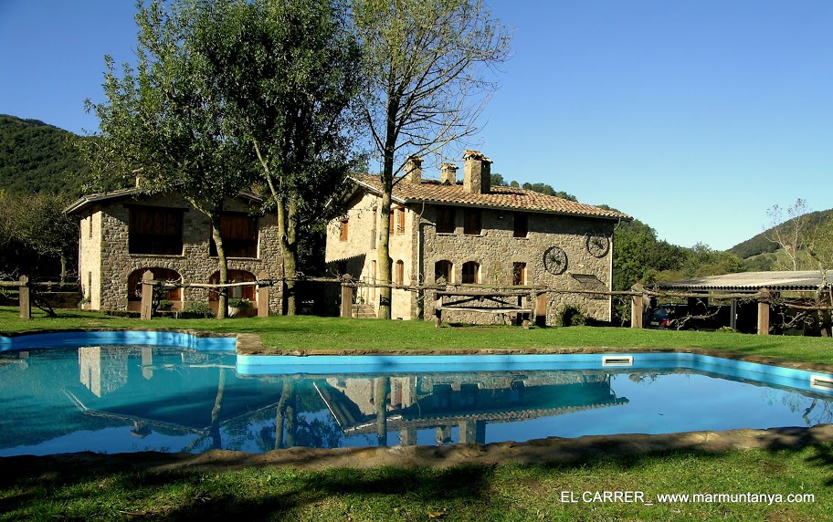
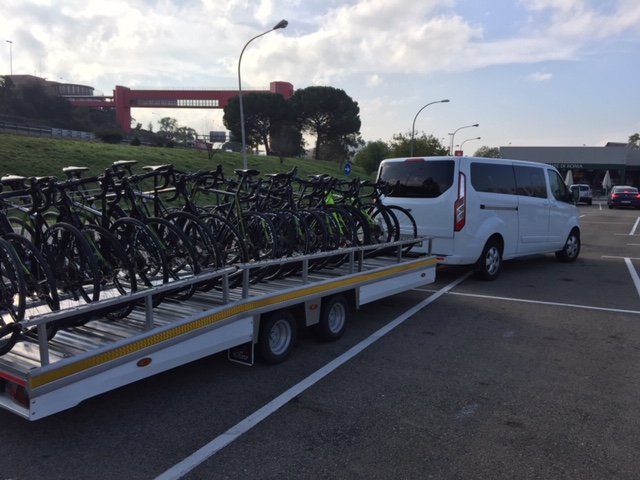
Services WC Stations / Amer BTT Center
IMPORTANT NOTE: This route is explained in a clockwise direction, following the Pirinexus route. In general, however, the route explained as a greenway is described from mountain to sea (Olot – Girona ).
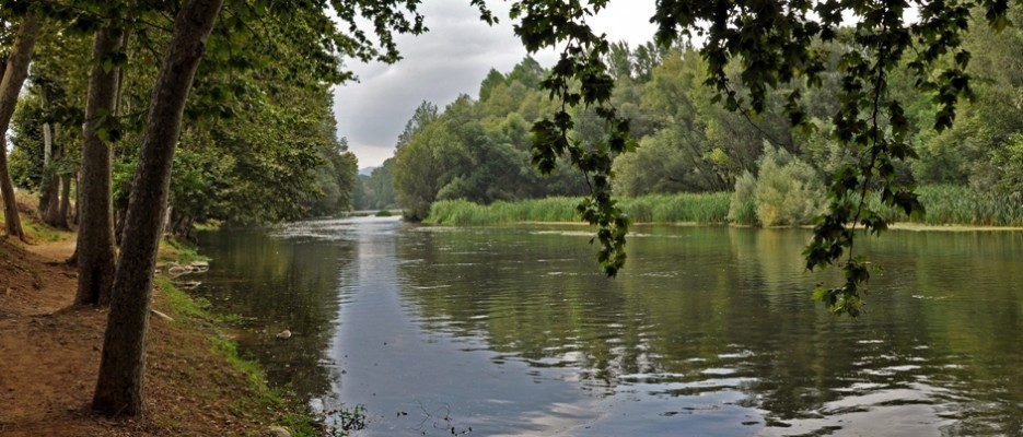
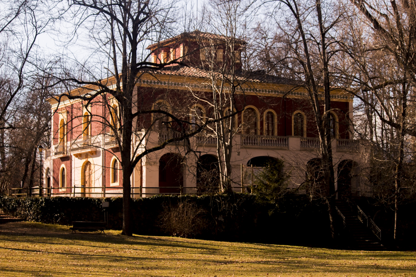
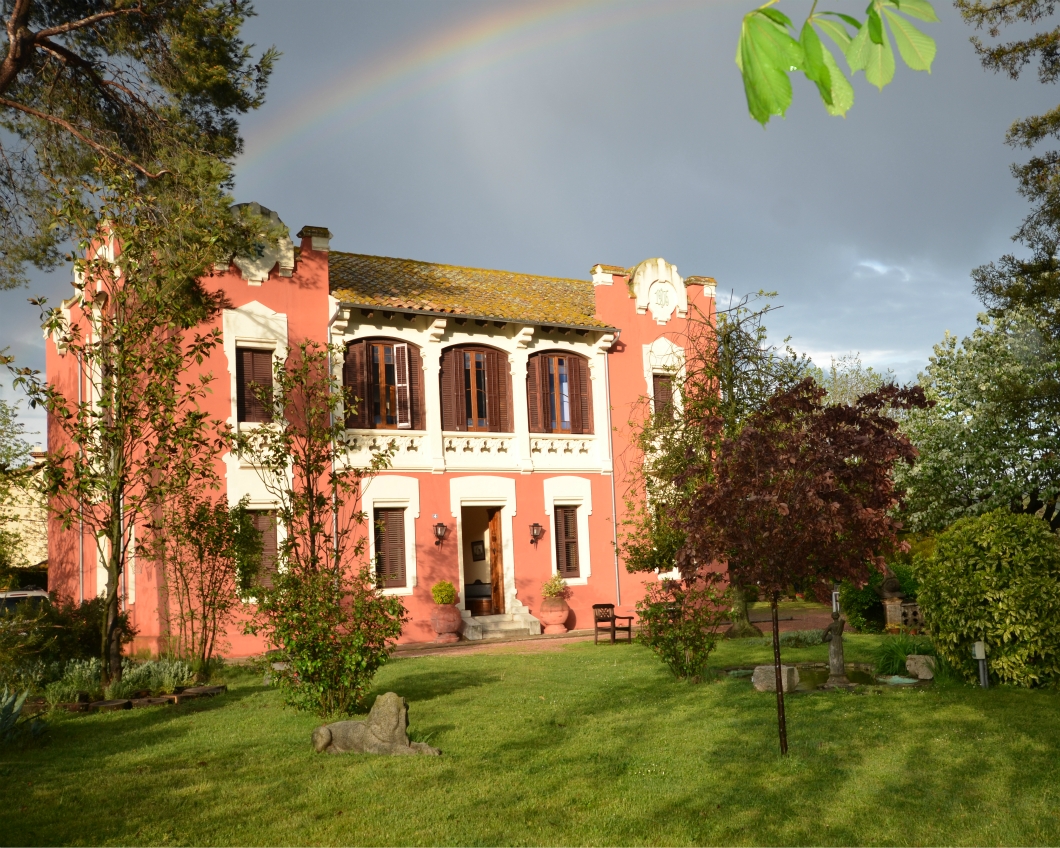
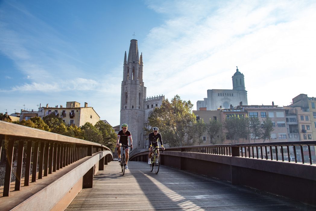
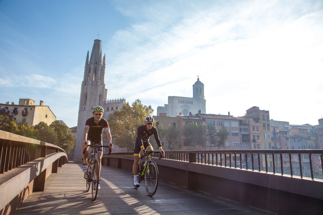
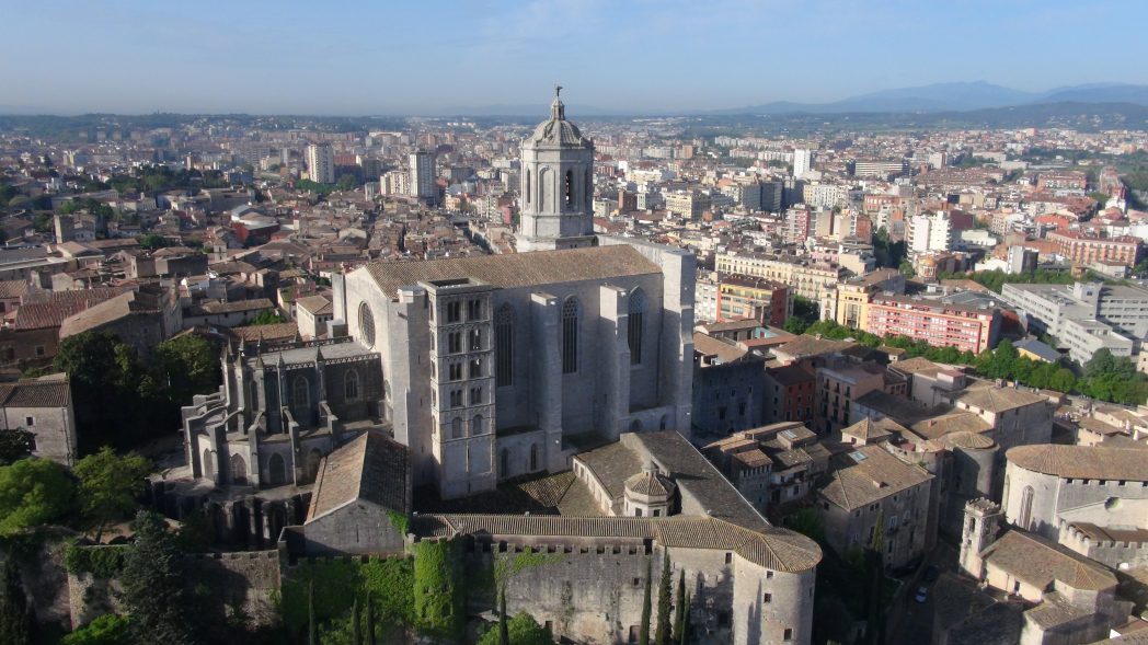
The Carrilet I Route is a stretch of 54 kilometres that crosses three comarcas and a dozen towns, taking in the valleys of the Rivers Fluvià, Brugent and Ter. Near Girona, we find Salt, a town with close links to the River Ter, initially due to its farming and later due to the arrival of the textile industry. Following the route, we reach Bescanó, a town characterised by its modernist hydroelectric plants. One of the most noteworthy of these, which conserves the original machinery, can be found on the way out of the town. On the other side of the river we find the town of Bonmatí, where we can see one of the industrial colonies that depended on water drawn from the River Ter. Following the river, we reach Anglès, the upper part of which retains remains of the walled medieval town, and where we can also find modernist houses in the old town.
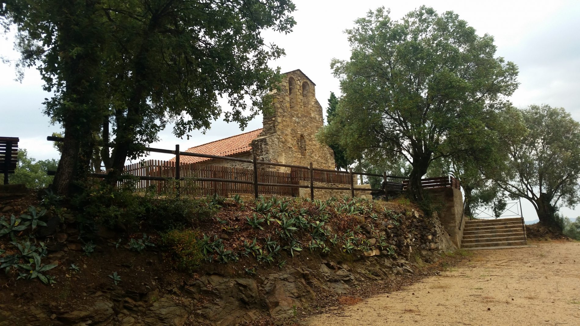
We end the Gironès route in Amer, a town established in the 10th century to serve a monastery, whose church and abbey complex can still be seen today, which are home to the Ethnologic Museum, with over 2,500 pieces. Another notable feature is the Plaça Porxada, one of the largest and most elegants squares in Catalonia.
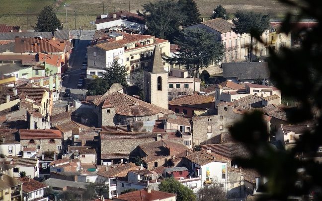
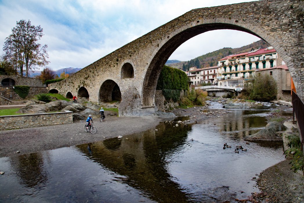
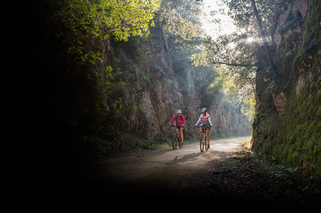
After this, we then explore the comarca of La Garrotxa. The Amer fault line was responsible for the 1,000 metre land drop between the Plains of Hostoles and Sant Feliu de Pallerols. This fault is also responsible for the volcanoes that are characteristic of this area. We now find ourselves in the Natural Park of the Volcanic Area of La Garrotxa. If we have our wits about us, on arrival in Sant Feliu de Pallerols we will be able to spot volcanic rocks at the side of the route. There are many different kinds of volcanoes to visit here. This is a must stop for volcano and geography lovers.
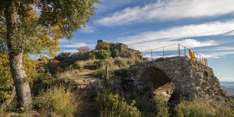
A little after les Planes d’Hostoles, we find a 9th century castle and, further on, gorges; nature spots made up of sediment and limestone where we can even stop for a bathe, weather permitting. When we reach Sant Esteve d’en Bas, we will see a vast flat-bottomed valley surrounded by steep relieves and dominated by Puigsacalm. Between Les Preses and the springs of Les fonts de Sant Roc, we find the Pedra Tosca park, a marshy area in places, where many fragments of volcano rock have had to be removed.
While discovering the secrets of the Greenways, we will also get to know some villages in the Vall d’en Bas, such as Hostalets and El Mallol, where we will find remains of the history of the remences, and from where we can contemplate the beauty of the reliefs that surround this area.
If we decide to explore Olot, the capital of La Garrotxa, we will see the most important volcanic landscape of the whole Iberian peninsula. We can find all the information we want on the volcanic situation of La Garrotxa at the Casal dels Volcans. Don’t leave without checking out the earthquake simulator!
In addition to the area’s clear attraction for those interested in volcanism, modernist architecture and other styles also have a strong presence in Olot, with key buildings such as the Claustre del Carme or the church of Sant Esteve. Can Trincheria House Museum is also a must, where we can find an enormous nativity scene.
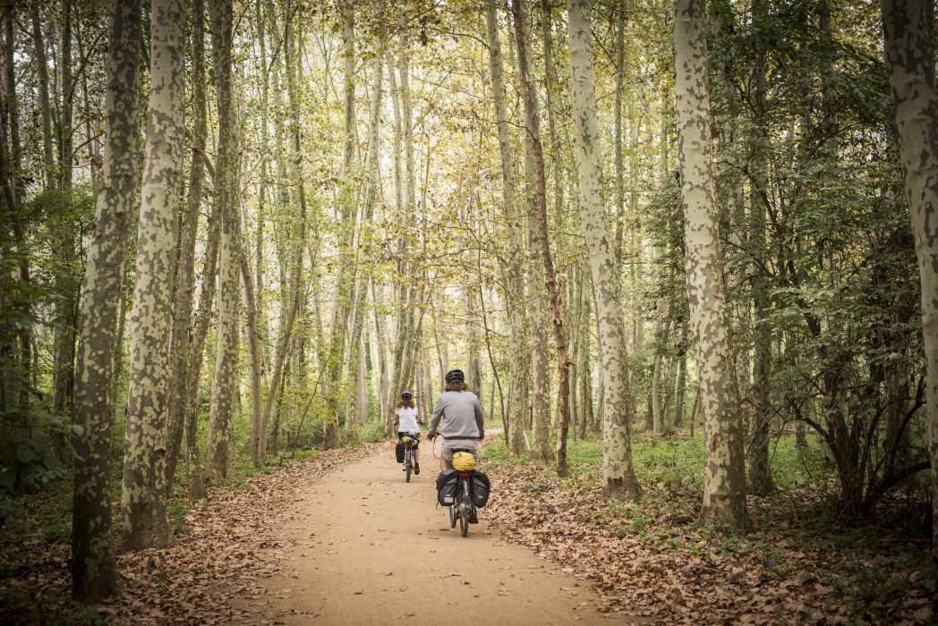
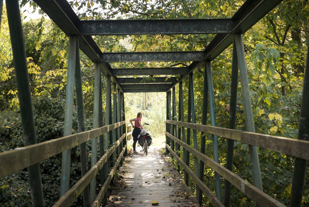
The Carrilet I route that goes from Olot to Girona has a gentle slope from Olot (440 m), which gradually descends until reaching Girona (70 m). Its highest point is located at Coll d’en Bas, at 558 metres above sea level. This track, suitable for walkers and cyclists alike, is in a very good condition and has been equipped with new bridges, handrails and signs.
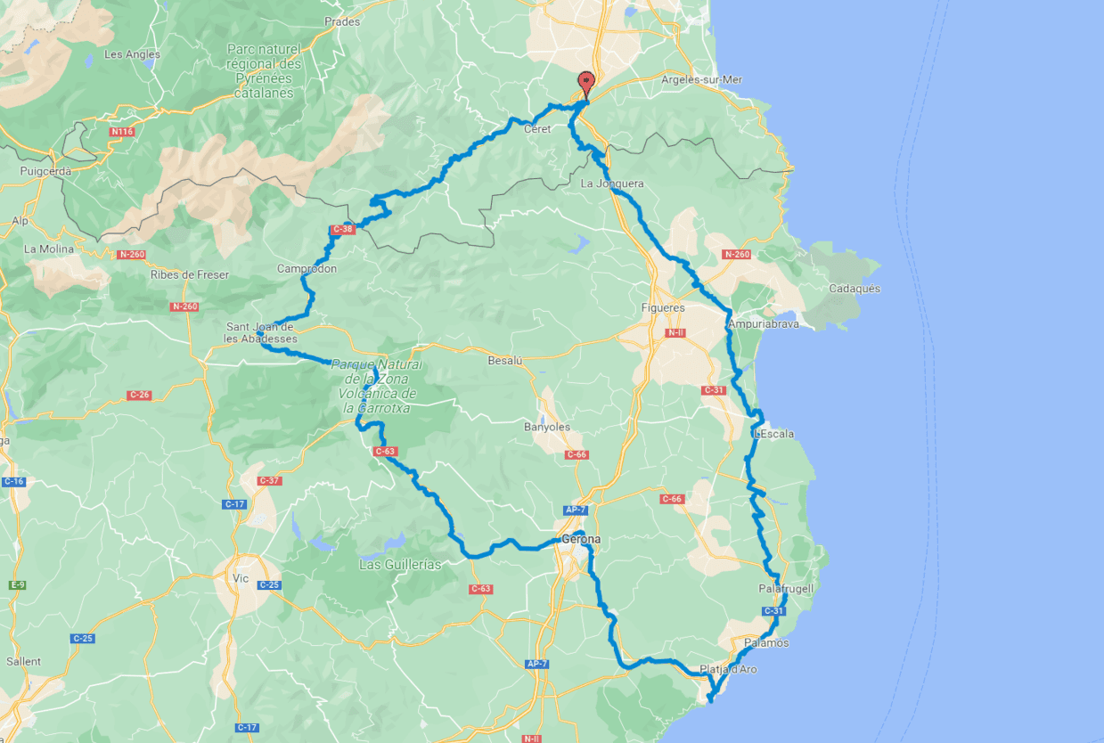
The itinerary of Girona center is the one you will find by default in the download track, but if you prefer to go through the center of Salt, you can download the alternative track in this link
Download the track and the detailed guide to check if there are any specific difficulties reported at each stretch and to find out about the best tourist attractions in each area.