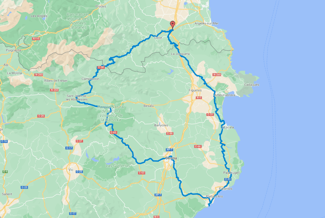
Baix Empordà Route
Bellcaire - Torrent
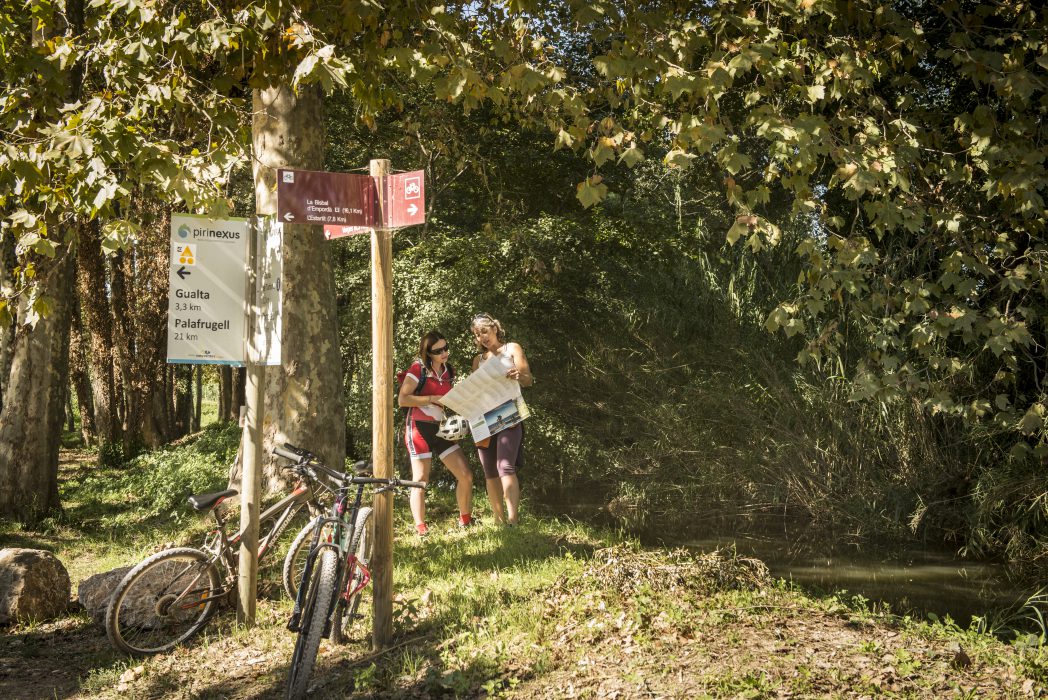
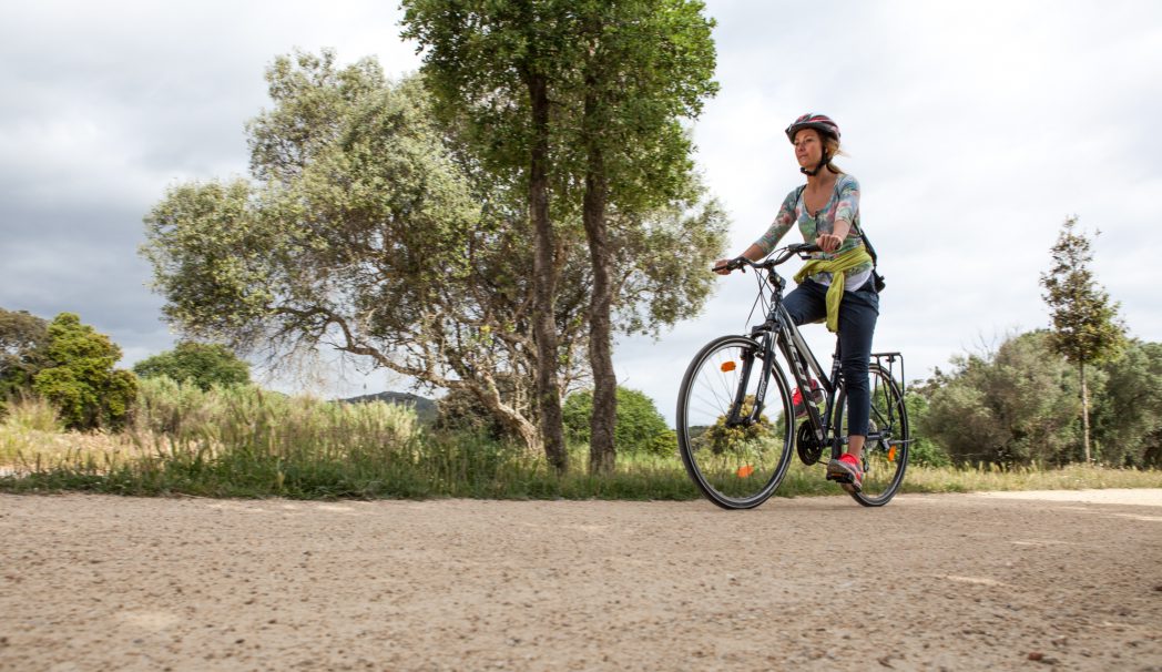
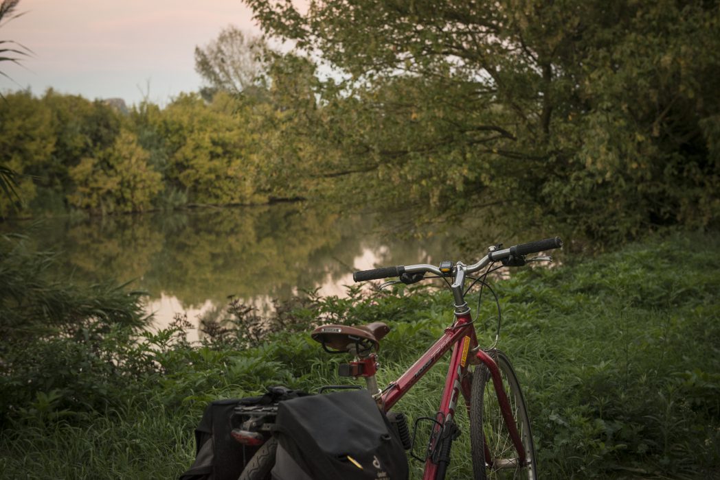
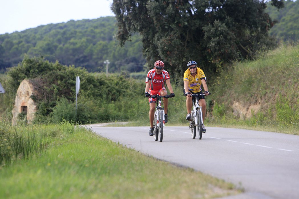
The Baix Empordà is one of the best cyclable comarcas of the Pirinexus route. It is made up of 30 km of well-kept pedallable lanes, which are mainly flat and easy to cycle along. A visit to the Baix Empordà is a must for lovers of medieval culture, where they will find many towns with medieval remains.
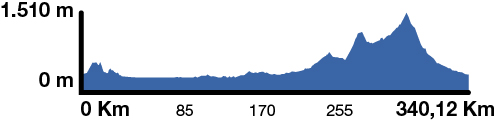
Kilometers 30 km
Accessible route
Slope Almost null
Difficulty Minimum
Pavement Graded-aggregate, asphalt
Maximum altitude 30 m (Torrent)
Minimum altitude 5 m (Fontanilles)
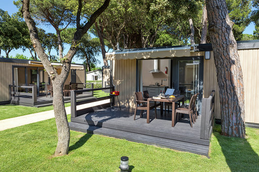
Services Tourism offices / Support points

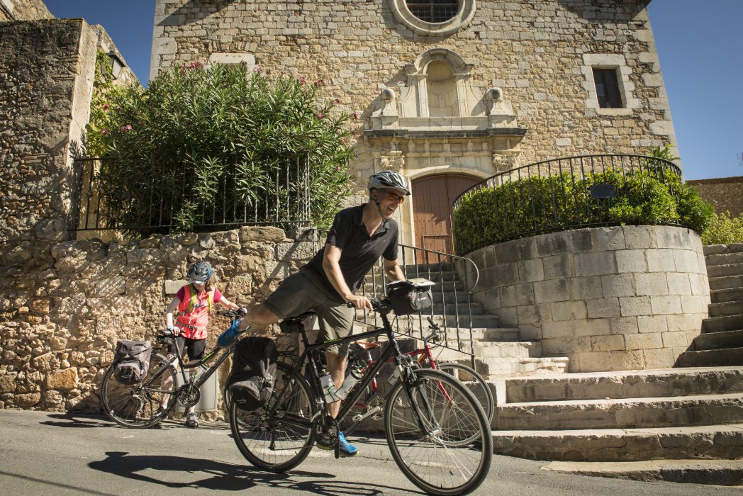
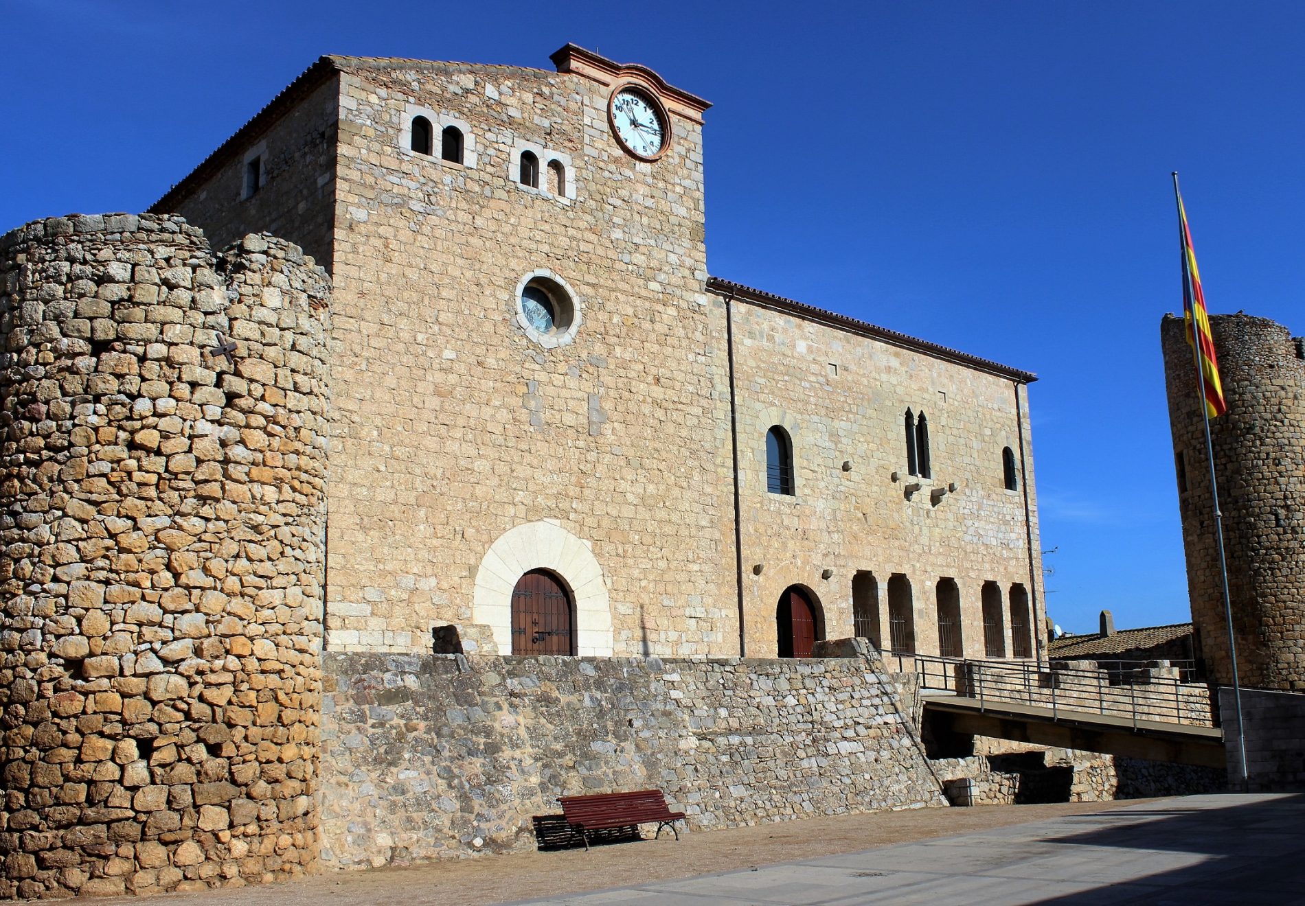
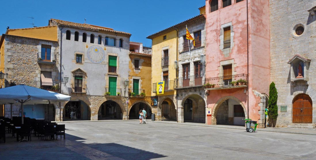
Bellcaire is the starting point of Pirinexus from the Baix Empordà, where we can find the Castle of the Counts of Empúries. Between Bellcaire and Ullà we continue around the Montgrí Massif, where we can find Palaeolithic remains and a castle that crowns the massif. While crossing this massif, the first town we come across is Ullà, where we find the church of Santa Maria. Pedalling alongside crops, we reach Torroella de Montgrí, where we find the church of Sant Genís and the Mediterranean Museum. (From here we can take a detour towards L’Estartit, taking a pedallable path alongside the river, to reach the Gola de Ter and the Medes Islands). Crossing the River Ter we approach the town of Gualta, well-known for its old medieval buildings. We then follow the Daró Vell River, crossing through agricultural lanes towards Fontanilles.
At a distance of 1.3 km west of Fontclara, taking a detour through the cycle tourism network of the Baix Empordà, we find ourselves in Palau-sator, a town with a medieval centre which retains its ancient city walls and the old tower which provided access to the settlement. Following this route, we arrive in Peratallada, a cultural and artistic heritage site which retains its feudal appearance.
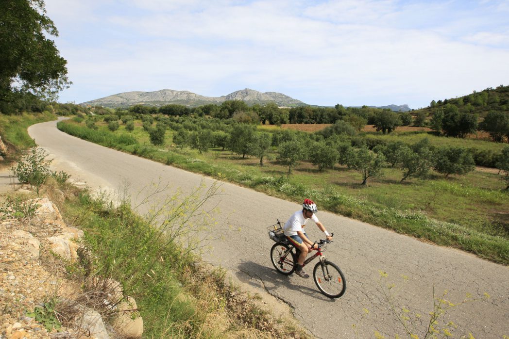
Continuing along the Pirinexus route, we go on towards Sant Feliu de Boada. Further south, we reach Pals, where we find the remains of another medieval settlement and an archeological museum. You cannot leave this area without tasting the rice! After Sant Feliu de Boada, Pirinexus continues towards Torrent and the plain continues to be dominated by a mountainous forest area known as the Gavarres Massif. The massif is bordered by different towns, the first of which is Palafrugell, which we find marked by two elements: the unfinished bell tower of the parish church of Sant Martí, and the Modernist Tower of Can Mario, an old factory which has been converted into the Museum of Contemporary Sculpture, with 220 pieces.
The Pirinexus Route in the Baix Empordà continues along the greenway known as the Little Train Route. (enlace)
(STRETCH THAT LINKS PALAMÓS – PLATJA D’ARO – SANT FELIU DE GUÍXOLS, or the Little Train route)
Leaving Palamós, we need to keep pedalling until we reach Platja d’Aro, a town with a wide variety of shops and good examples of coastal dunes.
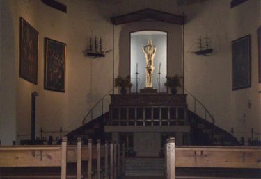
The next stop along Pirinexus is Sant Feliu de Guixols, a fishing town known for the monastery known as Porta Ferrada, which is home to the History Museum of the City and the art gallery known as Carmen Thyssen Space.
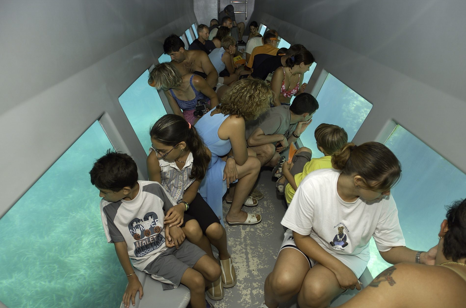
Complementary routes. Taking a detour from our main route, we can pedal towards L’Estartit, taking in the magnificent Medes Islands or visiting the marine fauna in the area.
The route towards Palau Sator and Peratallada and the detour towards Pals are also complementary options.
Download the track and the detailed guide to check if there are any specific difficulties reported at each stretch and to find out about the best tourist attractions in each area.
![]()
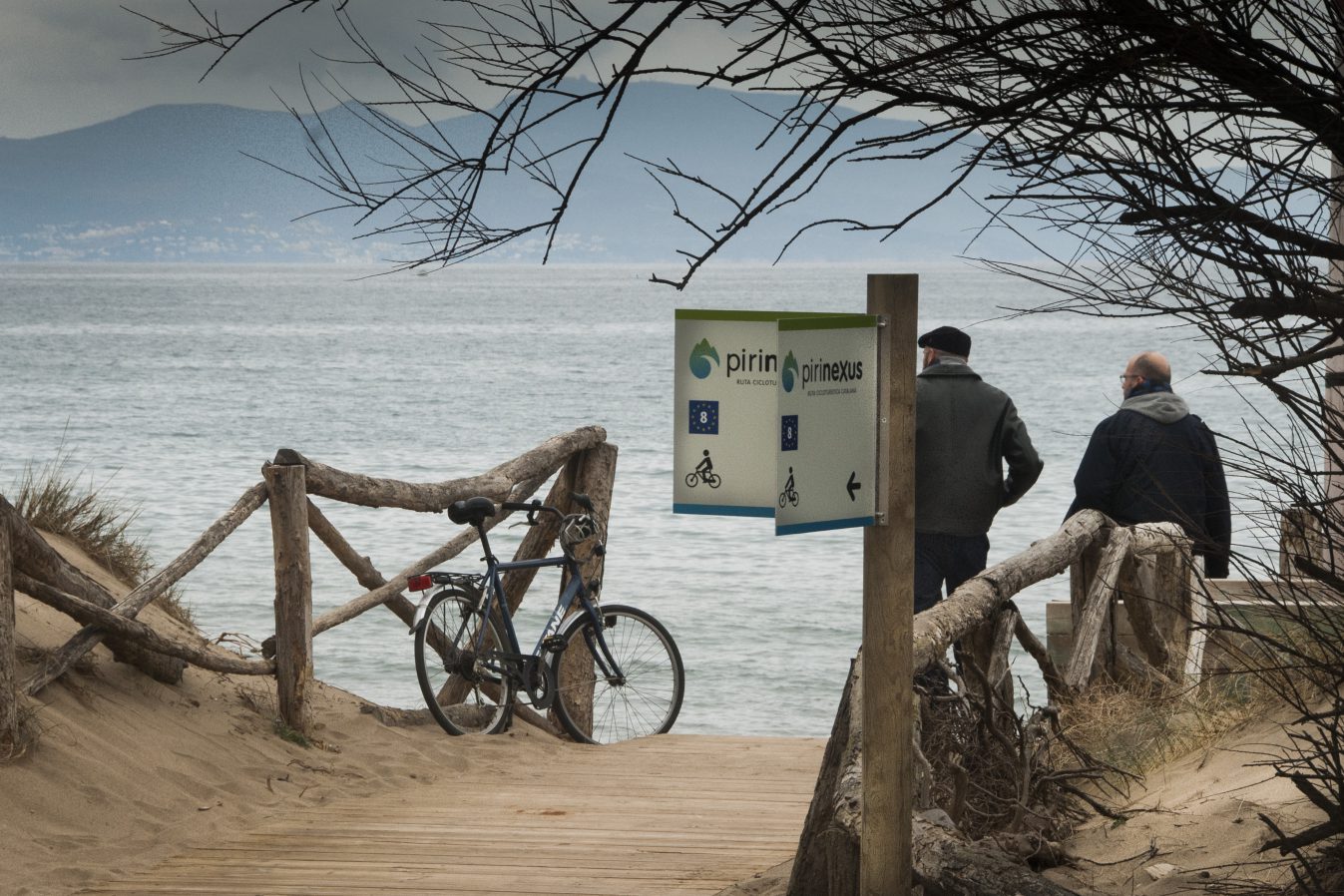
This route matches EuroVelo 8, a 7.560 km trans-European cycling route. More information: https://ev8.eurovelospain.com/