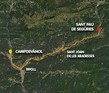
Ripollès Greenways
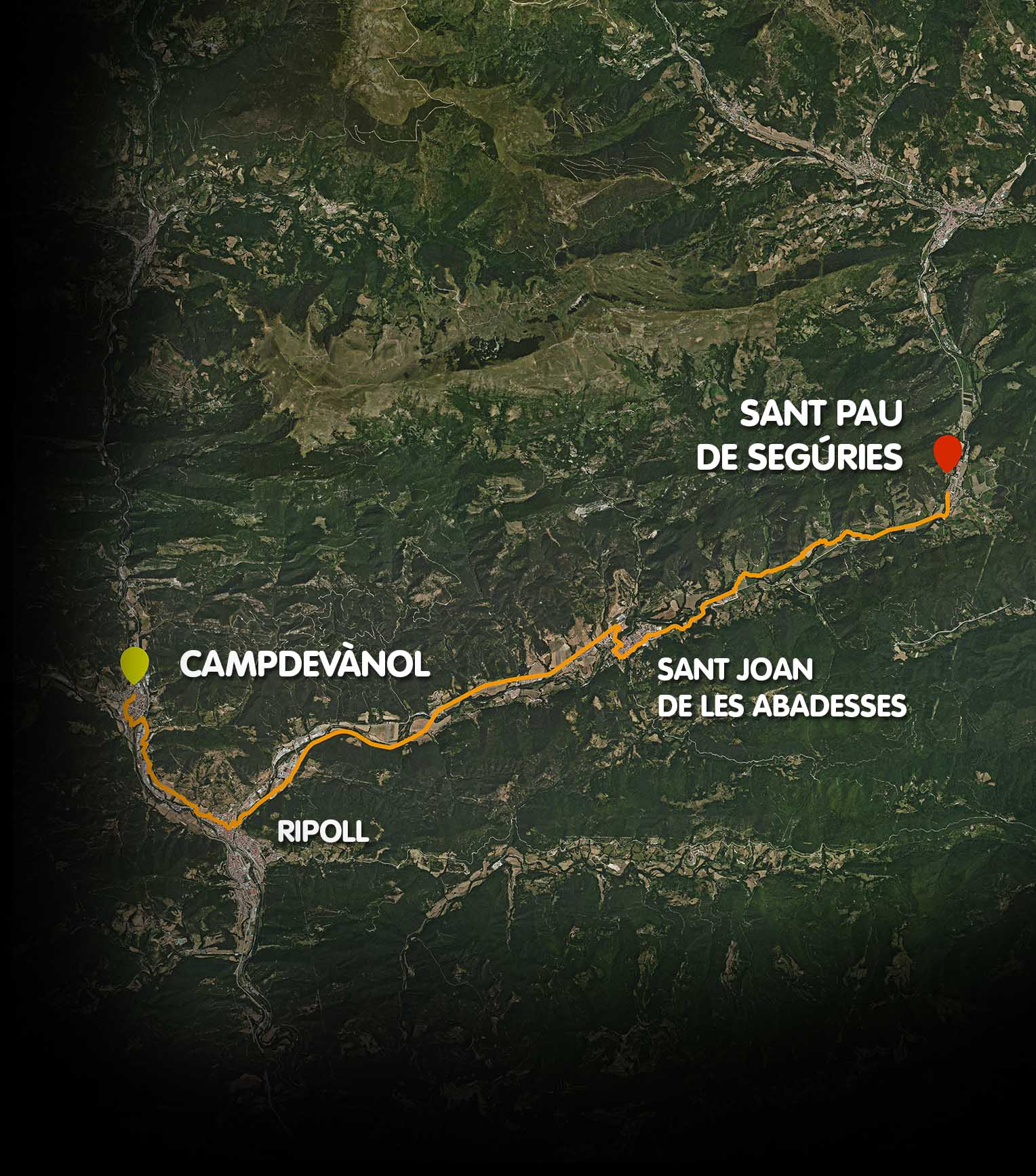
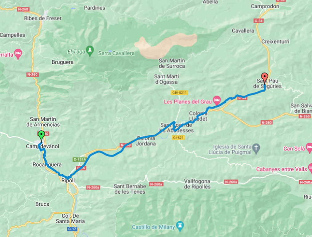
Campdevànol – Ripoll – Sant Joan de les Abadesses – Sant Pau de Segúries
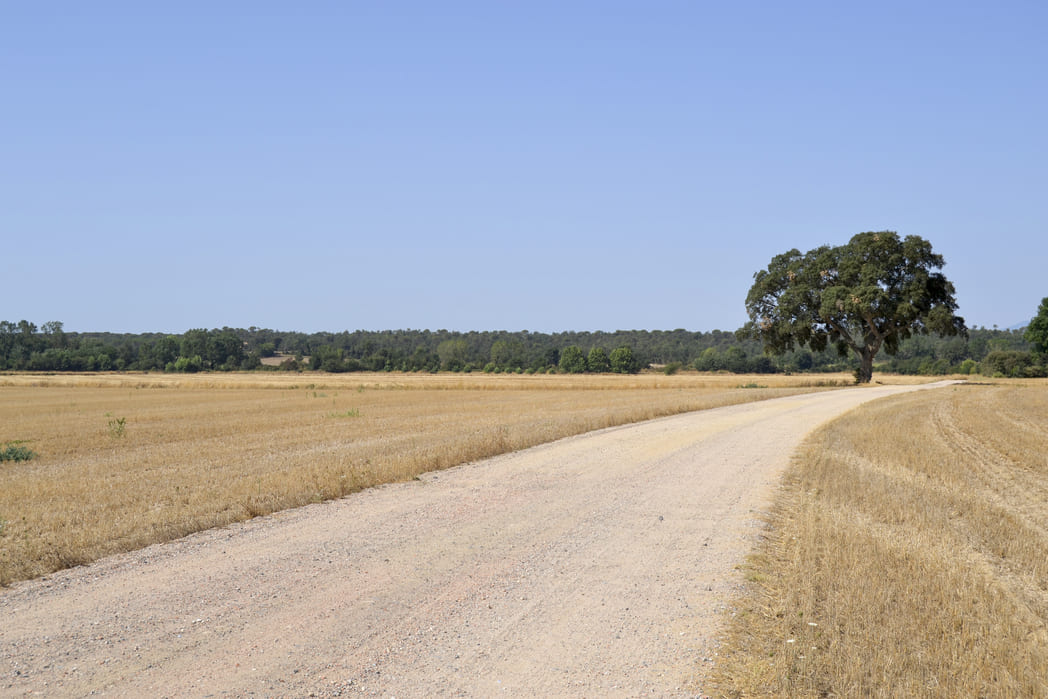
Combining the Camí Ral (Royal Road) with the Iron and Coal Greenway, you can go from Sant Pau de Segúries to Campdevànol on a 23.5 km cyclable route.
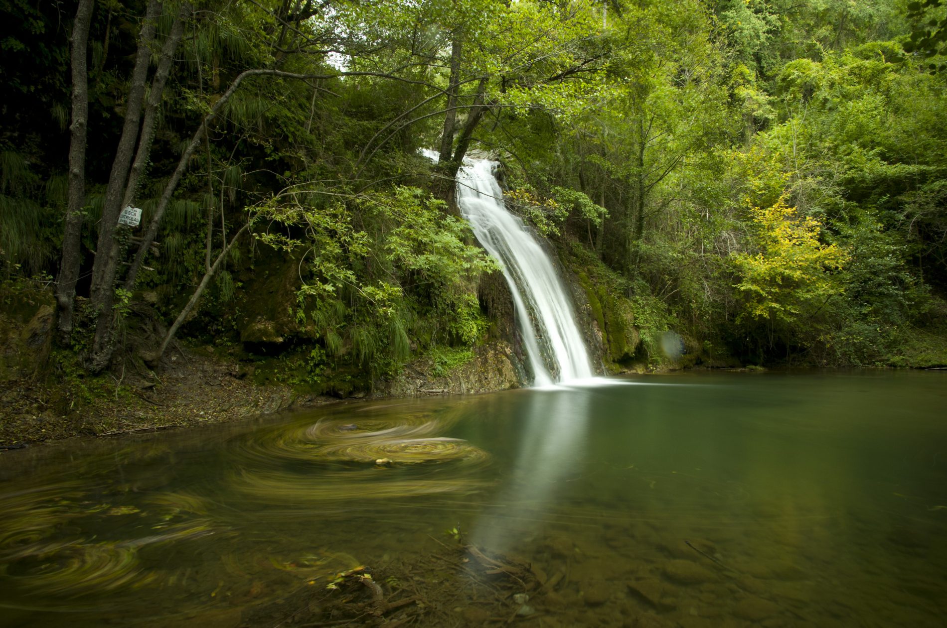
This route will allow you to enjoy the mountain scenery of the Ripollès region and four towns steeped in history. You can visit monuments of great interest, such as the monastery of Santa Maria de Ripoll and the monastery of Sant Joan de les Abadesses, and enjoy the local cuisine at your own pace, on foot or by bike.
Kilometers 23,5 km (one way)
Slope 1,15 %
Difficulty Minimum
Maximum altitude 859 m
Minimum altitude 679 m
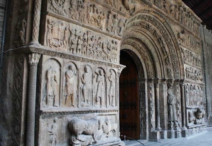
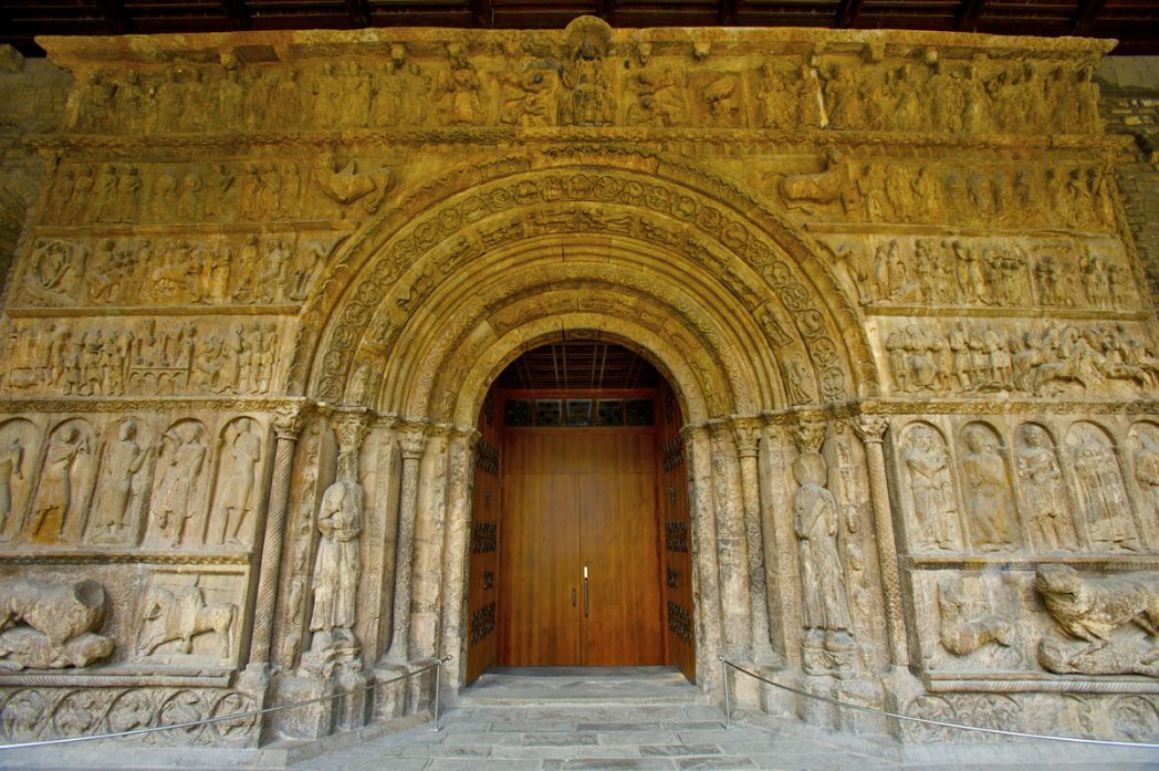
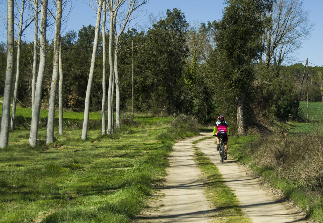
Starting from the old town of Campdevànol and following the streets of the village you will reach the new section of the Camí Ral, which will take you to Ripoll (5 km). It is a fairly flat route that connects with the well-known Iron and Coal Greenway. Once you reach Ripoll, you will have to cross the town centre. There, you can take the opportunity to visit the monastery of Santa Maria de Ripoll and its Romanesque portal.
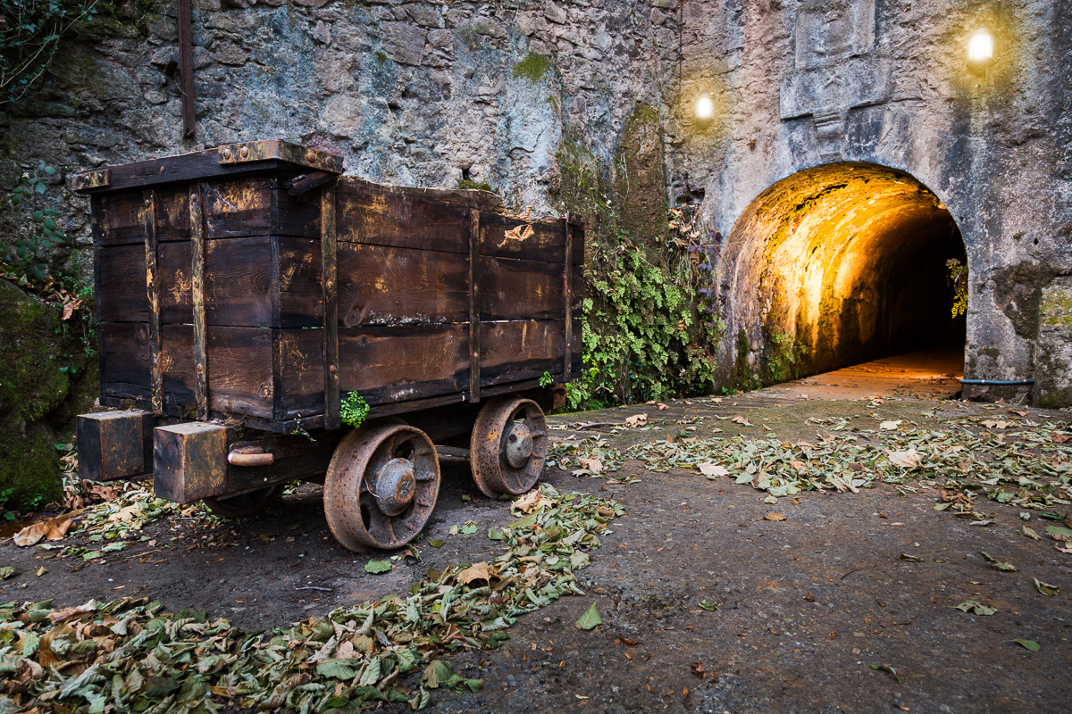
Continuing along the path, in the Can Guetes area, you will find the start of the Iron and Coal Route, which follows the route that the train used to take in the past. The greenway is fully signposted and is an accessible and flat route.
After about 10 kilometres, you will reach Sant Joan de les Abadesses through Parc de l’Estació. While passing through Sant Joan de les Abadesses, it is worth taking the opportunity to visit the old centre of the town and learn about its history, which is linked to Count Guifré el Pilós and the legends of Count Arnau. To continue along the route, you will have to cross the town along streets and cycle lanes, which will allow you to visit places of interest such as the Old Bridge, the church of Sant Pol, the monastery and the Abbey Palace.
Once you have crossed the old town, you should continue towards Colònia Llaudet, an old textile colony next to the river Ter, an emblem of the textile industrialisation of the Ripollès region. This section of the greenway was built relatively recently by the Generalitat de Catalunya and allows you to reach Sant Pau de Segúries (8.5 km).
The entire route runs along sections of greenway segregated from motor traffic, except for the urban sections that cross municipalities.
The route crosses four towns with shops, restaurants, and accommodation.
Access the route's wikiloc and view the route, the slope, ...


Related routes
Ripollès Greenways
Campdevànol – Ripoll – Sant Joan de les Abadesses – Sant Pau de Segúries
23,5 km (one way)
Thermal Greenway
Cassà de la Selva - Caldes de Malavella
13,8 Km
Pla del Gironès Sud Route
FORNELLS - LLAMBILLES - CAMPLLONG - RIUDELLOTS DE LA SELVA - SANT ANDREU SALOU - CASSÀ DE LA SELVA
35 Km