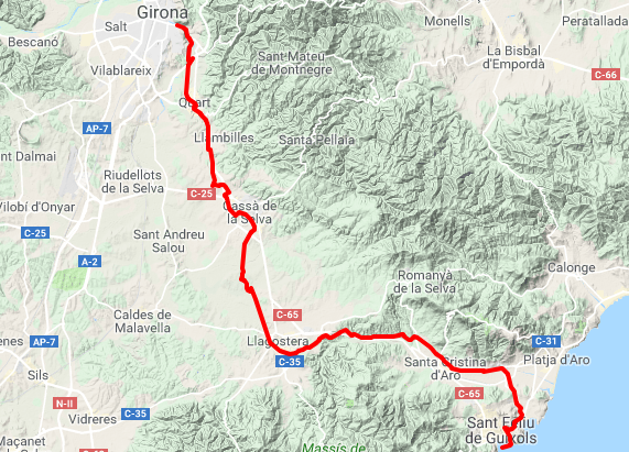
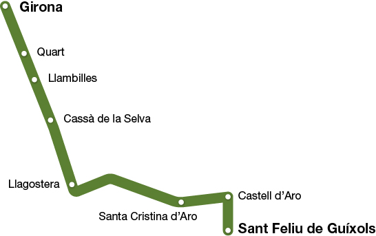
Narrow-Gauge Railway Route II
Girona - Sant Feliu de Guíxols
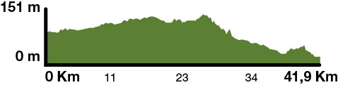
The Narrow-Gauge Railway Route stretches out 41,9 km. With a smooth incline from Girona to Sant Feliu de Guíxols (15 m), its highest point is at Cassà de la Selva (136 m). Following the old narrow-gauge railway line from Girona to Sant Feliu, you can get to know two of Girona´s regions – the Gironès and the Baix Empordà – from the Ter River basin, crossing the Selva depression and ending in the Ridaura valley.
Kilometers 41,9 km
Accessible route
Slope 0,5%
Difficulty Minimum
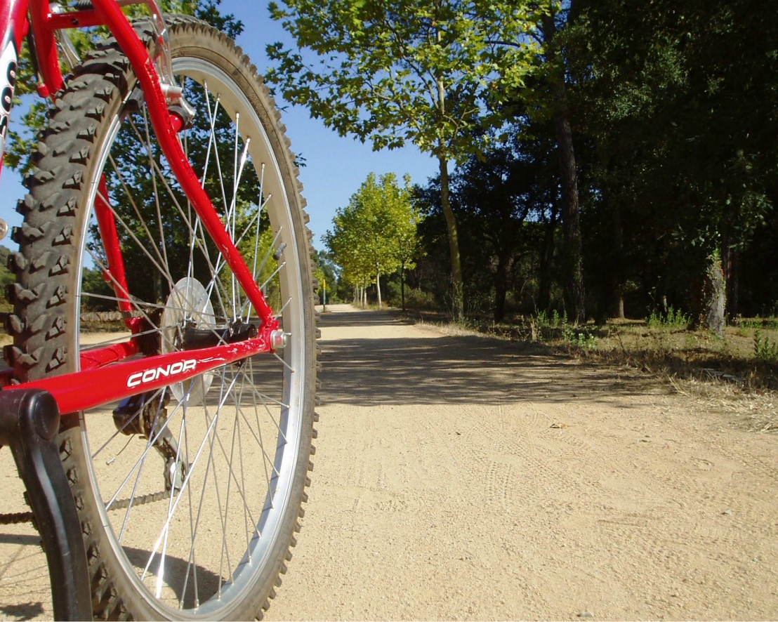
Pavement Packed granite sand
Maximum altitude 136 (Cassà de la Selva)
Minimum altitude 0 m (Sant Feliu de Guíxols)
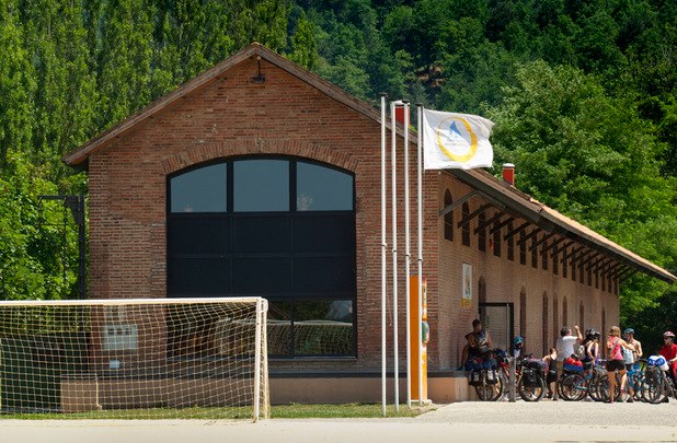
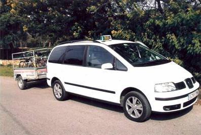
Services WC (in stations) / Castell d'Aro All-Terrain Cyclin Center
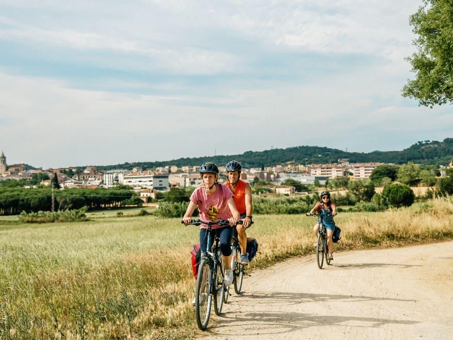
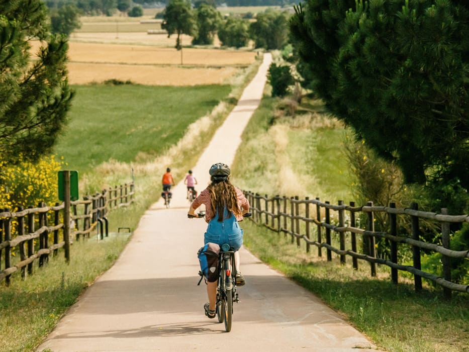
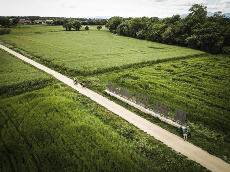
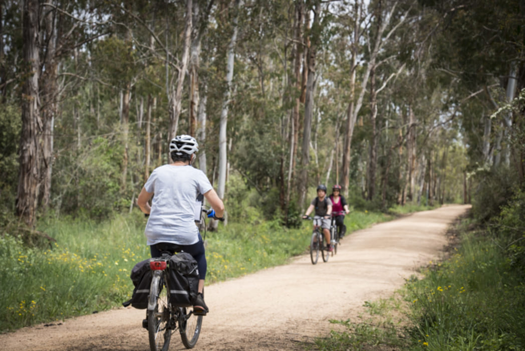
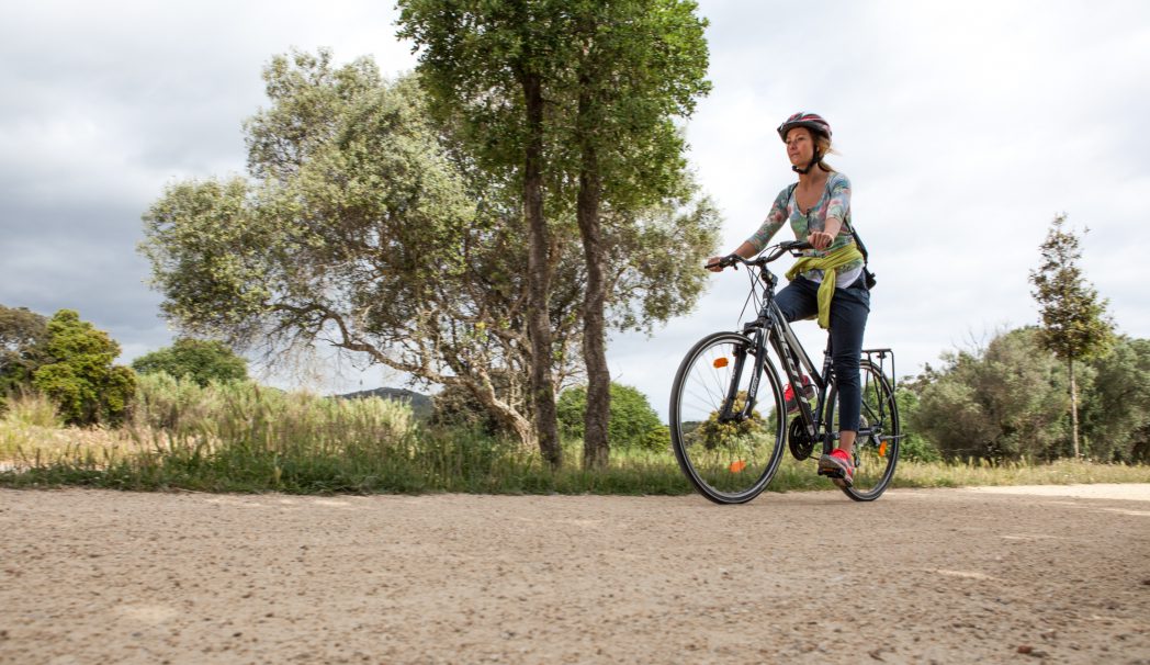
The most salient feature of the railway line trail from Sant Feliu de Guíxols to Girona is the smoothness of its slopes and curves. The route is formed by a winding line that was mathematically mapped out over the rugged terrain. The paving is of a grainy “granite sand” type material that blends in nicely with the terrain it crosses, although there are also urban sections at all the towns that it runs through.
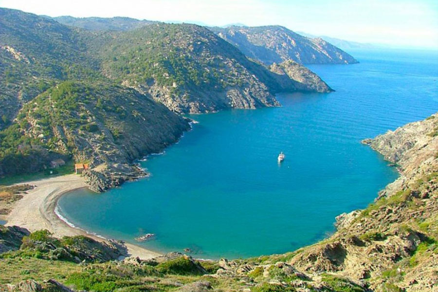
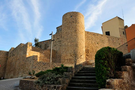
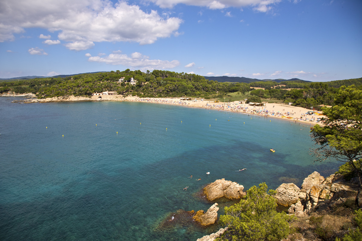
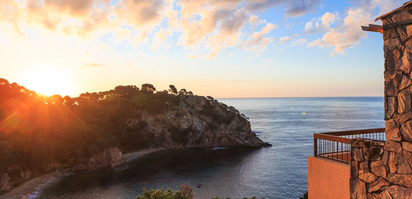
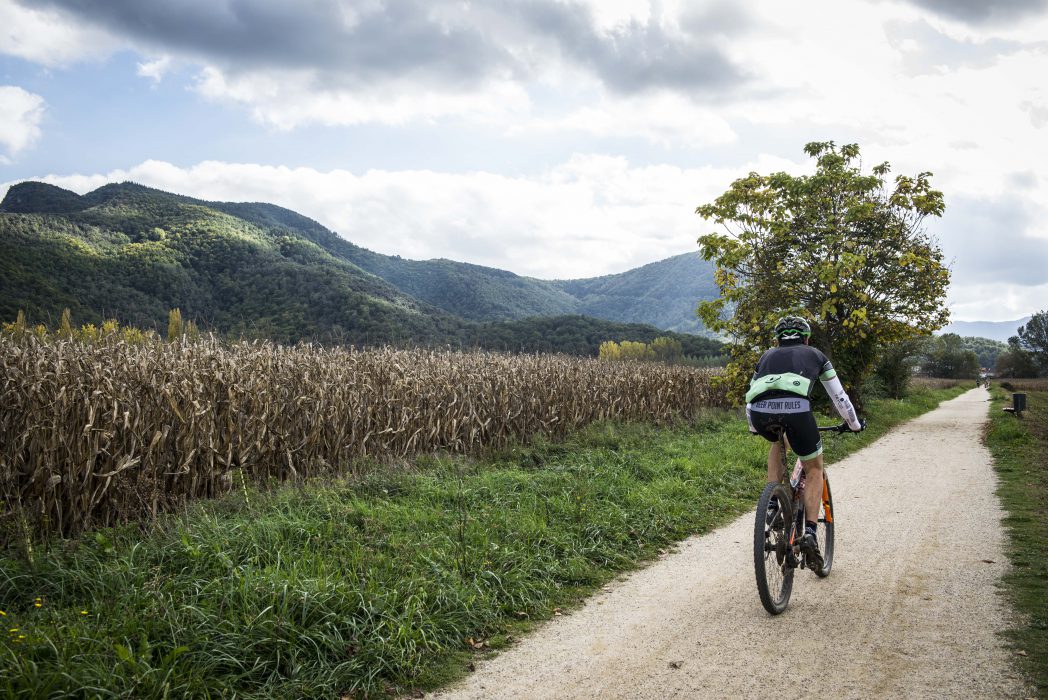
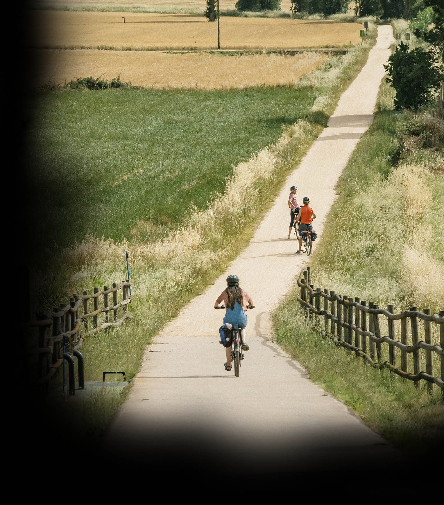
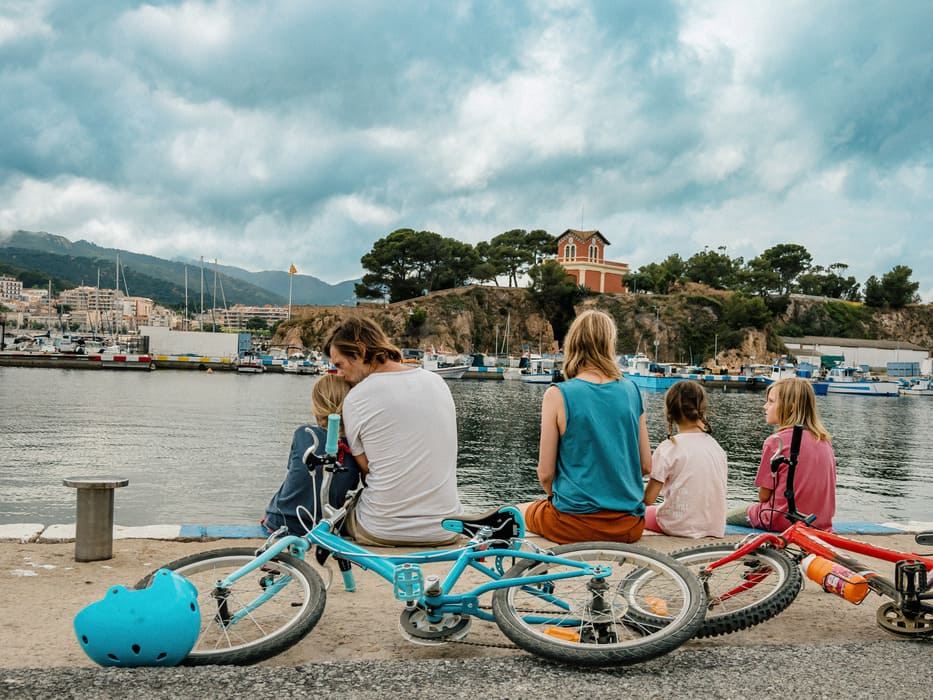
After leaving Girona behind, the route crosses the Selva depression, characterised by a patchwork mosaic formed by alternating croplands and forests. On clear days you can enjoy an extraordinary panoramic view that encompasses the easternmost mountains of the Pyrenees range all the way down to the Montseny massif, including the coastal Serralada Transversal (El Far, Sant Roc, Rocacorba). The second half of the section crosses the Ridaura valley, which separates the Cadiretes massif to the south from the Gavarres massif, and runs gently down to the seaside town of Sant Feliu de Guíxols, the birthplace of the Costa Brava place name, which offers breathtaking seascapes and views of the surrounding countryside.
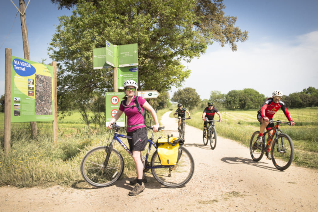
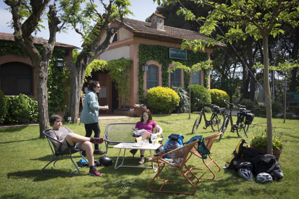
When we reach the area of Cassà de la Selva, we can join the Thermal Route, a greenway which takes us to Caldes de Malavella.

Accessibility
ROUTE FOR AN EXTRA / second OUTING OR THOSE IN GOOD PHYSICAL SHAPE
Girona – Quart: 6.5 km.
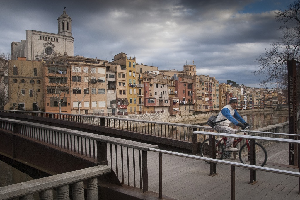
- Set off from Plaça dels Països Catalans. Girona can also be crossed by cycling through the old town along the banks of the River Onyar, following the signs for bike lanes.Bear in mind that the start of this route, from Girona to the technological park, is also shared with blind people or the visually impaired, since it has been adapted for visual accessibility.
- Llambilles – Cassà de la Selva: 6.5 km (from station to station). Stretch which requires assistance.
There are some difficult ascents before reaching Cassà, one with sand and another paved, where assistance is needed.
- Cassà de la Selva – Llagostera: 9.2 km (from station to station). Stretch which requires assistance.
This is accessible if it is taken from the Pont d’en Barrina (on leaving Cassà), over the by-pass, which is followed by a fairly pronounced descent. The rest of the route is flat.
Before reaching Llagostera we find a climb followed by a descent where assistance is recommended.
- Llagostera – Santa Cristina d’Aro – Castell d’Aro:
Leaving from the station in Llagostera, we cross a wooded area, followed by an underpass at Font Picant de Santa Cristina. The stretch from Santa Cristina to Castell d’Aro is perfectly cyclable (2.5 km) and nice and flat, which means that it can be covered there and back if you’re looking for a short route without transfers.